
Quick report
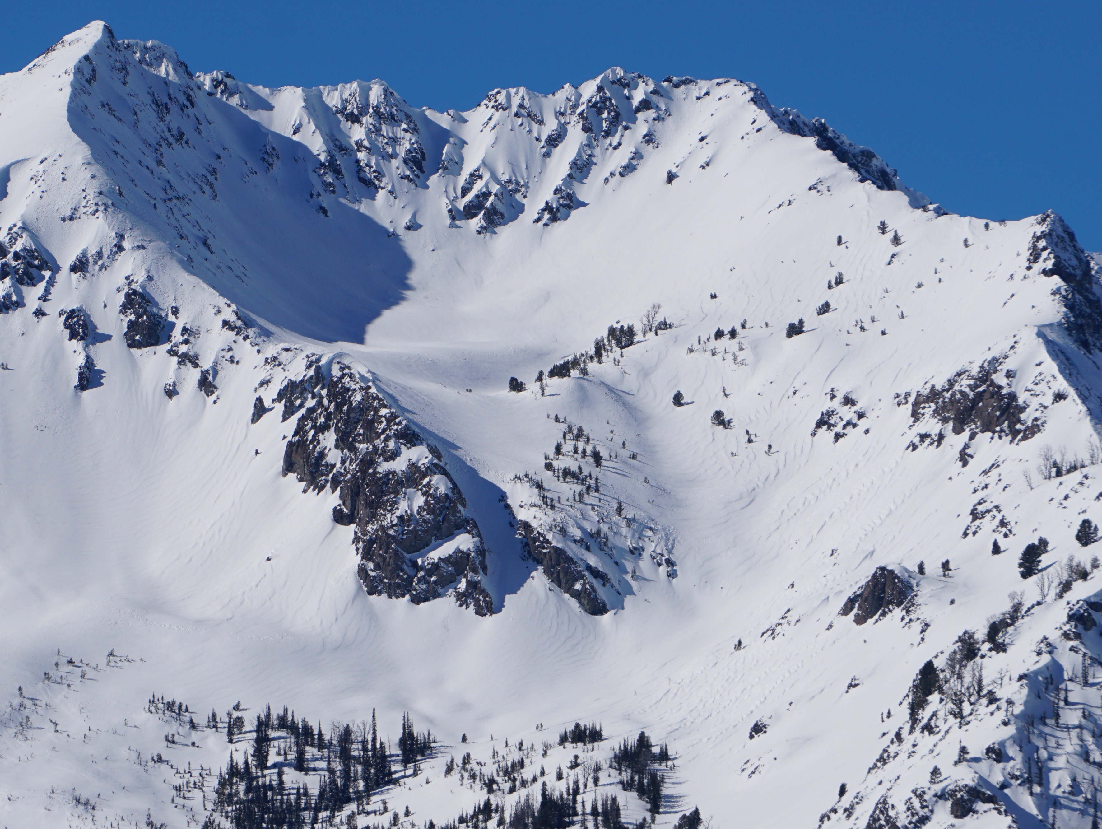
While glassing from Ketchum to west of Stanley, I saw over 100 avalanches that released in the past 48 hours. The NW Smoky Mtns were riddled with slides. The majority occurred in upper elevation terrain, but many released on exposed middle elevation slopes. Almost all occurred in obviously wind loaded, or wind affected, terrain. The afternoon sun produced some small, wet loose natural activity.
Cracking and collapsing are N/A: roadside observations.Weather
- Air Temp
- 20s and low 30s
- Cloud Cover
- clear
- Wind Loading
- previous
- Rain Elevation
- 7500 (Tuesday-Wednesday storm)
- Recent Snowfall
- 0 (past 24 hrs)
- Snow Avail For Transport
- moderate amounts
No active wind transport. Some thin high clouds in the western mountains from 3 PM on.
Snowpack
Sun-exposed aspects had a nice sheen on the drive south. Rollerballs on many steep, low elevation slopes that were sheltered from the strong winds in the past 48 hrs.
Avalanche
- Size
- D2
- Count
- 22
- Aspect
- E
- Trigger
- N
- Elevation
- 9700 ft
Impressive amount of recent natural activity at upper elevations, dipping into exposed middle elevation terrain. 10-15 fresh D1-1.5 WL avalanches released in the Boulder Mtns between noon and 5 PM, primarily on W and W-SW and W-NW aspects in the afternoon.