
Quick report
I took a stroll up toward Bear Gap and over into Pickhandle Basin today to try to see a few different aspects and look at our layers of concern on an official work day. I've been tracking these layers while skiing in this area on my days off, but I figured it was time to put on the patches and do some more formalized tests.
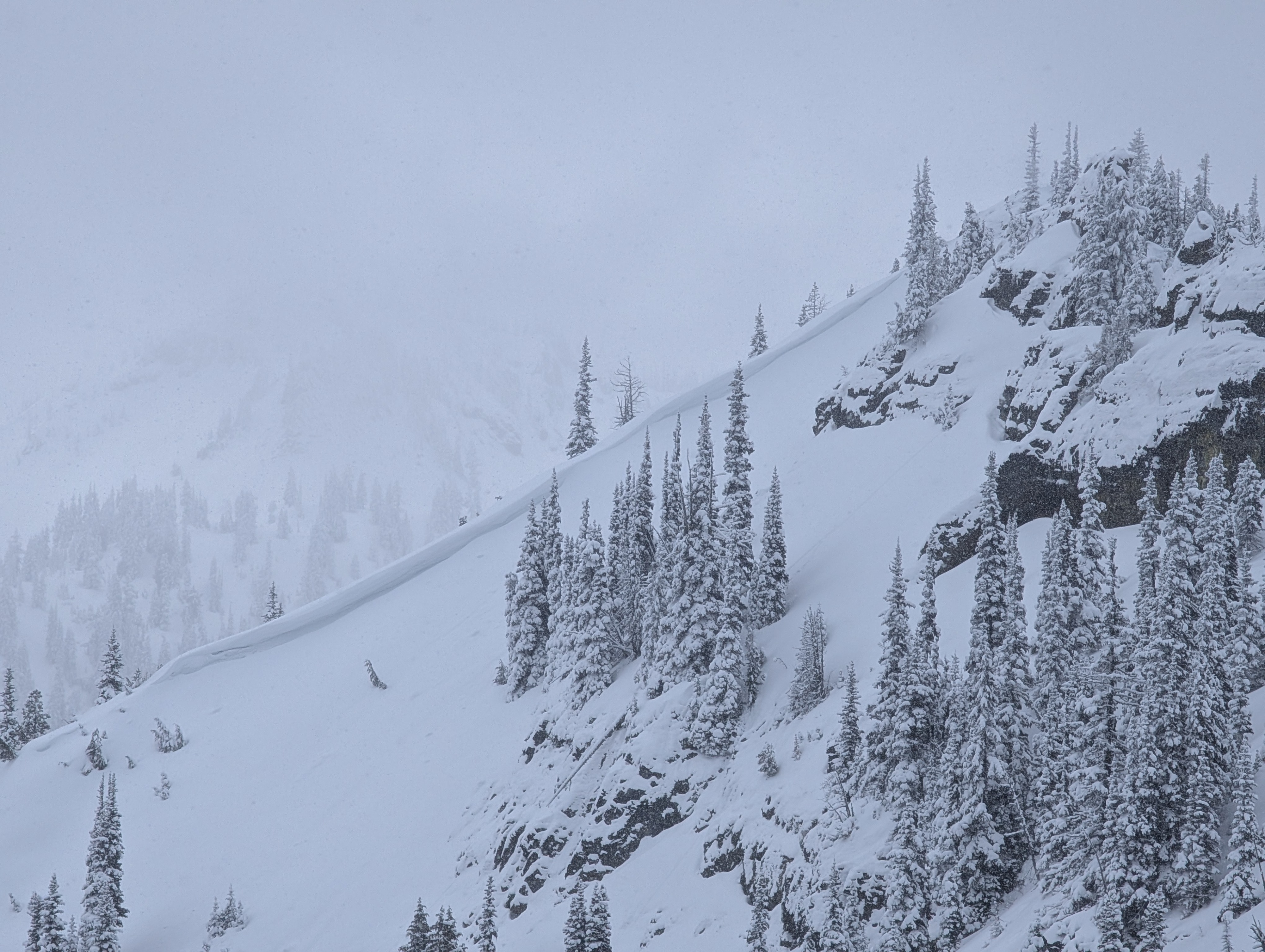
The lack of a slab is keeping these weak layers in check, and although I found some evidence of wind-loading today, I did not find any actual wind slabs.
Overall, coverage is improving with plenty of low-density snow on the surface. This has provided excellent riding conditions but is only masking the rocks and ground that were easily visible only a week ago. I hit a rocky patch under the snow while skiing what I thought was a filled in area. On southerly aspects, coverage is thin with a firm crust below that can make travel slick.
Lower elevations or under tree cover still need more snow to safely descend on skis or a snowmobile, although there may be enough coverage to travel uphill.
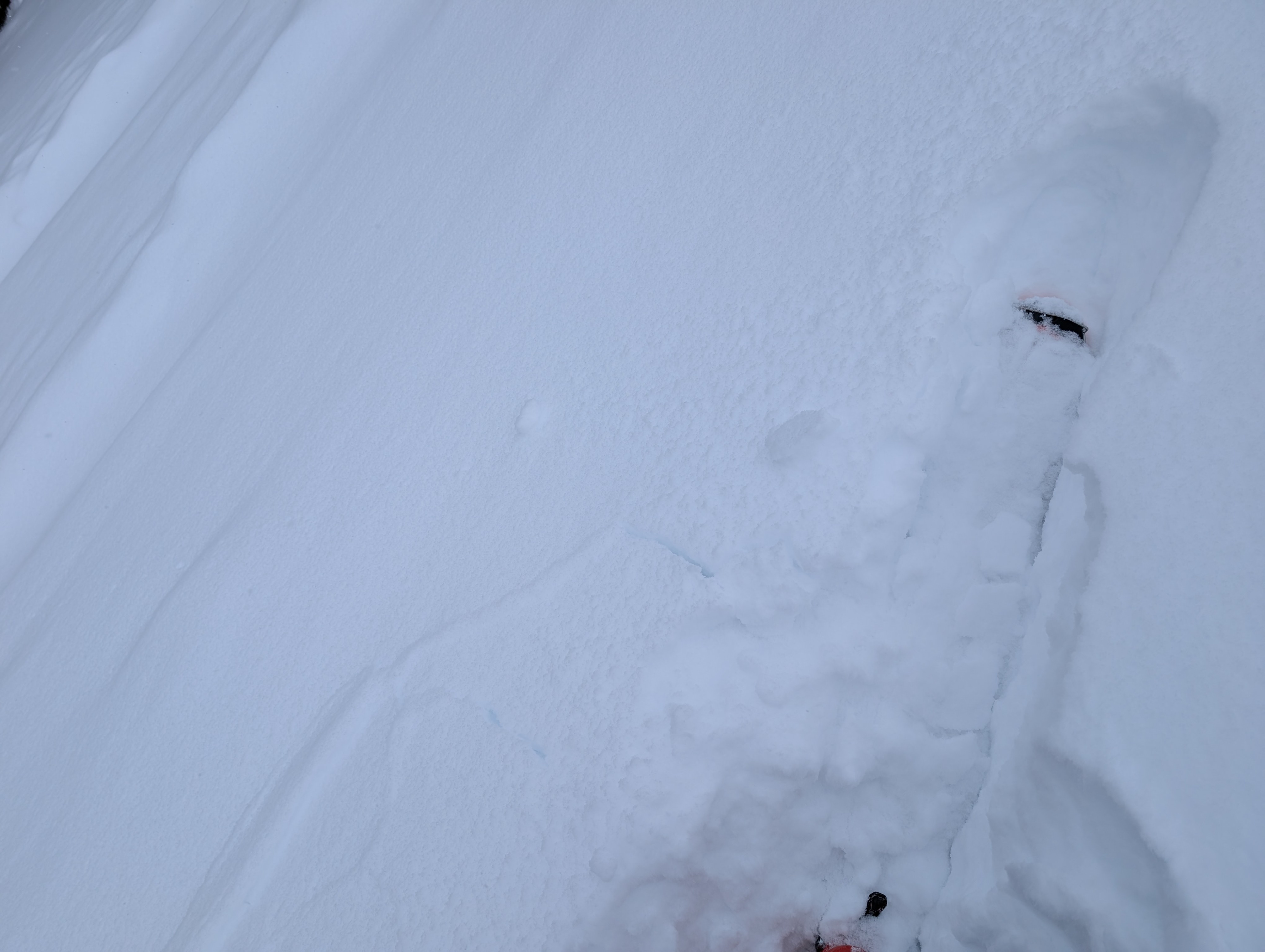
I had some isolated cracking while breaking trail through lightly wind-affected terrain, otherwise, no obvious signs of instability were observed.Weather
Mostly cloudy with convective snow showers throughout the morning. There were a few moments I saw glimpses of blue sky. Pretty cold.
Snowpack
The upper snowpack continues to weaken while low-density snow stacks up.
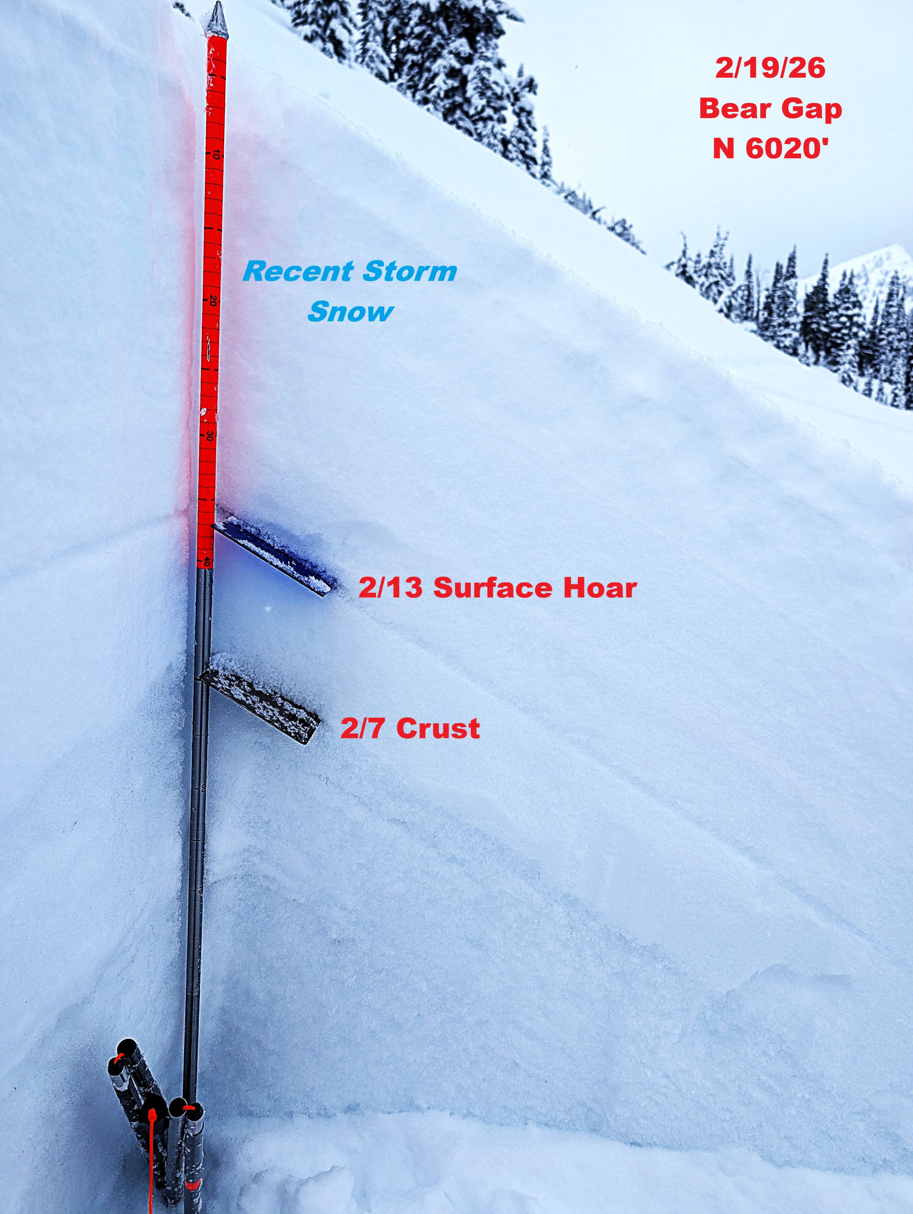
N 6020' just west of Bear Gap:
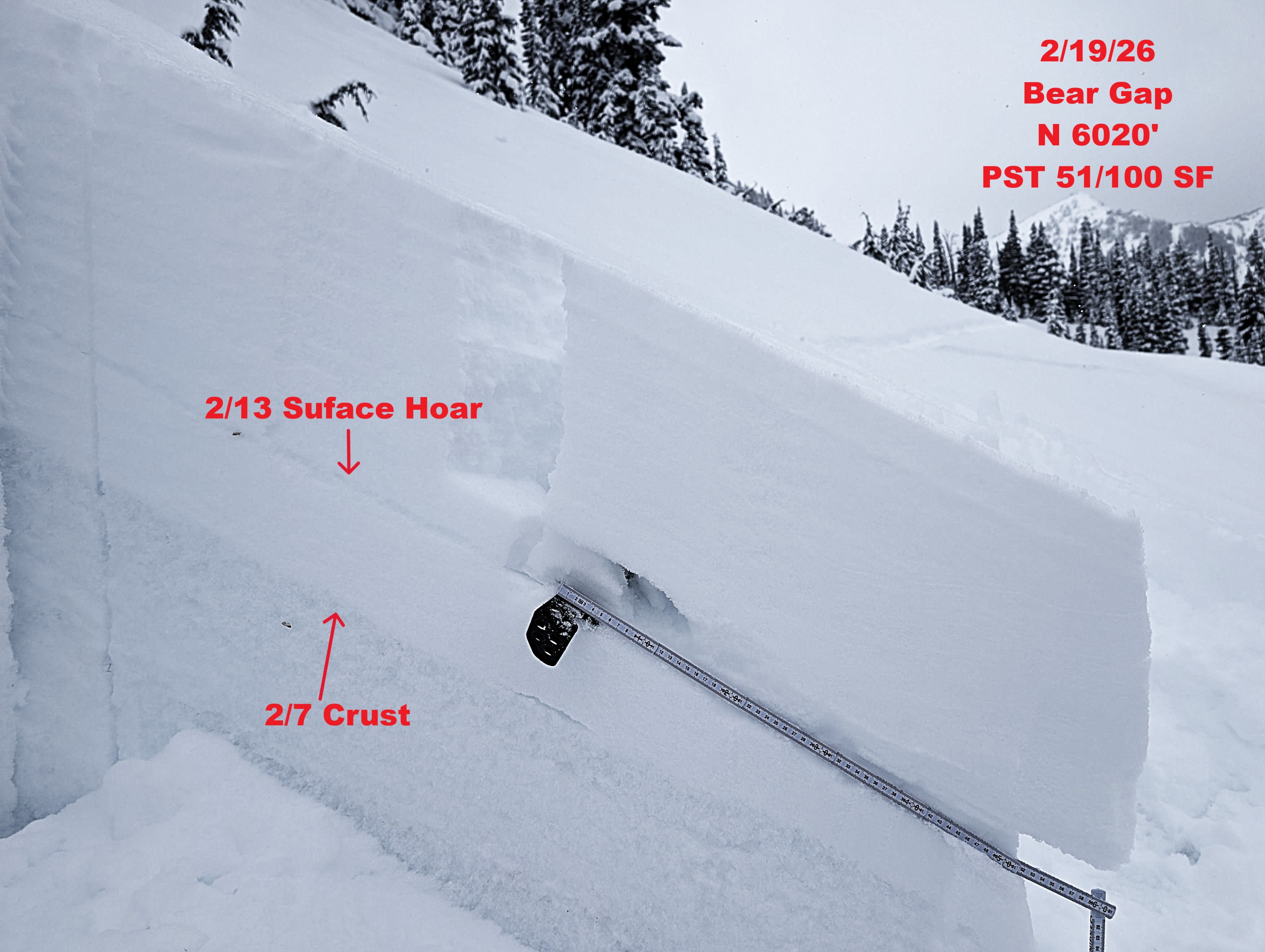
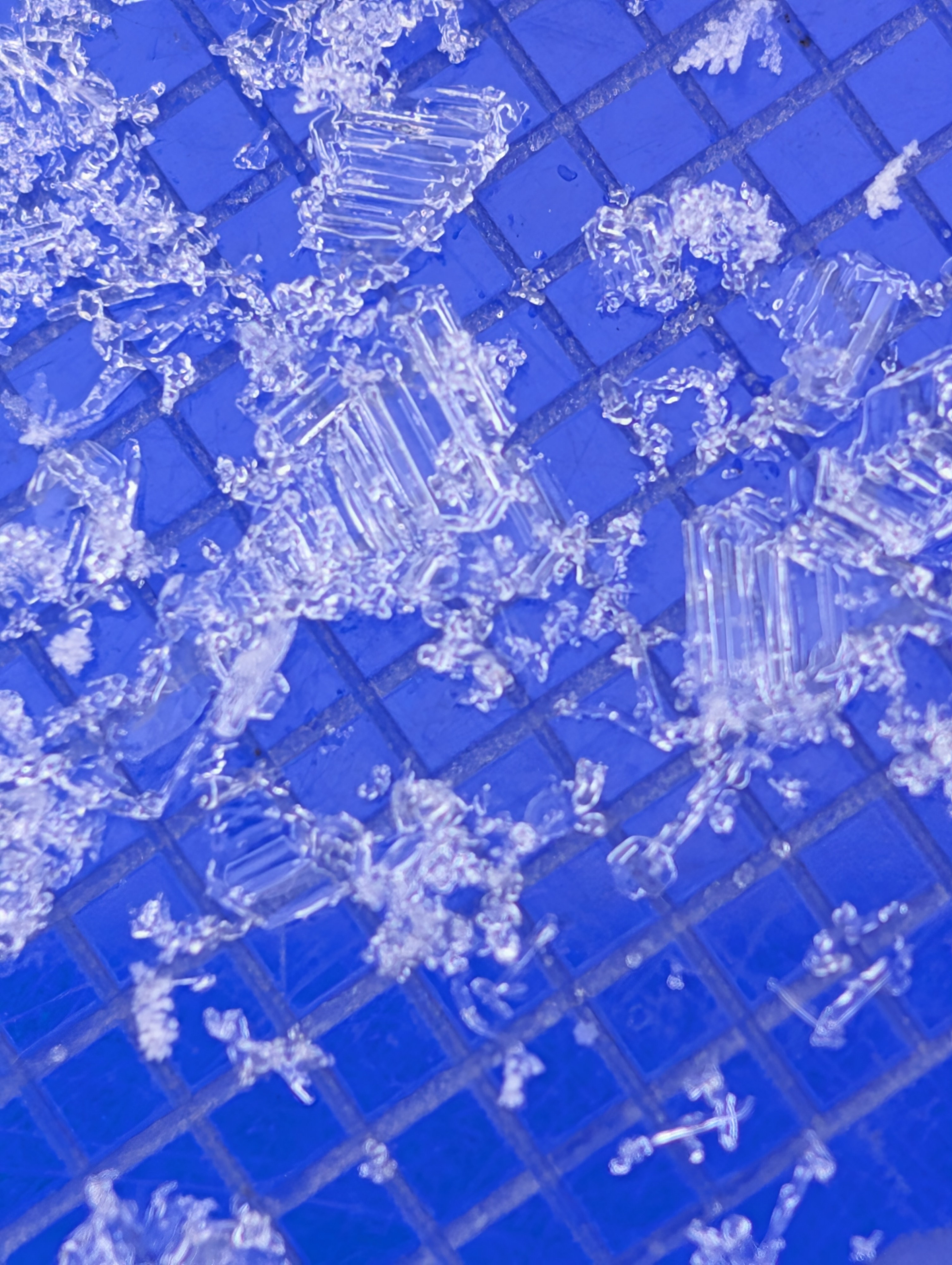
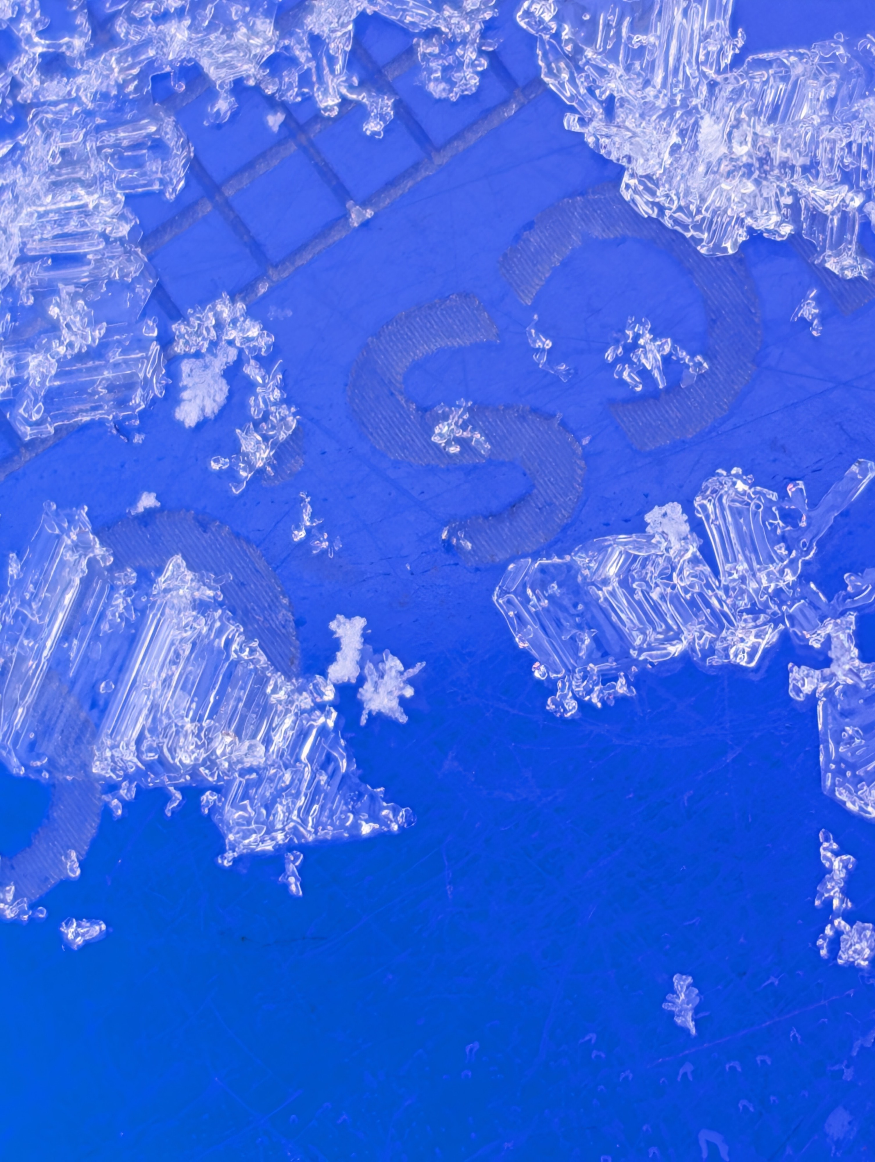
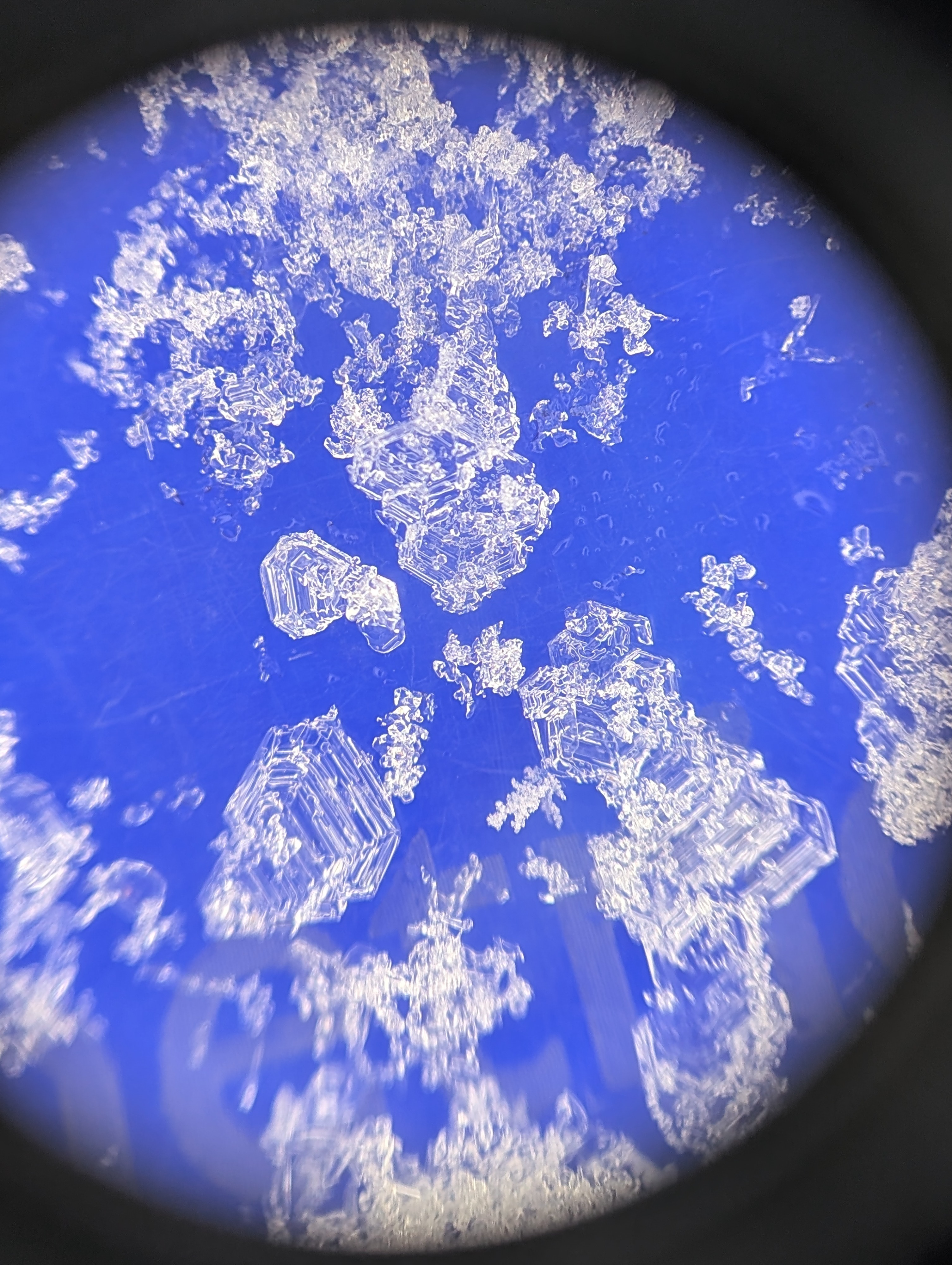
I found roughly 20 inches of snow over the 2/7 interface, with the 2/13 about 5 inches above the 2/7. There are large surface hoar grains at this interface, along with near-surface facets. You don't even need a loupe to identify the surface hoar grains - you can see them with the naked eye if you pull them out of the pit wall.
The 2/7 is 1F and rotting, with lots of weak snow below it as the snowpack transitions into a crust sandwich/complex.
There was also an interstorm layer that was highlighted with tilt and compression tests - it mostly contained stellar arms and was 8" (22cm) below the surface.
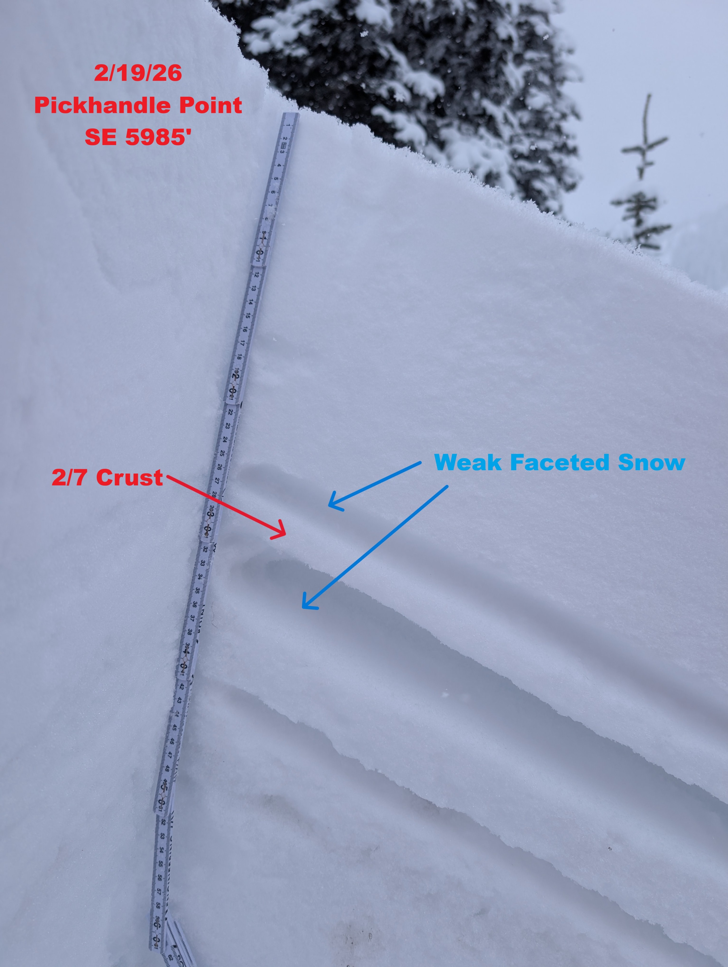
SE 5985' just south of Pickhandle Point:
The upper snowpack is much different on sun-exposed slopes. I purposely dug here because there was more recent snow over the 2/7 interface. In other nearby areas, there was only ~4-6" of snow.
The 2/13 surface hoar layer is absent, but weak near-surface facets sit on the 2/7, with even weaker snow below it. The 2/7 itself is more stout than what I observed in my northerly pit, but it's not all that thick.
Overall snowpack tests continue to highlight the potential for failure at these layers. However, they are not what you would call significant if you were taking them at face value. Some examples on the 2/13: ECTN30, PST 50/100 SF
Avalanche
No new avalanches observed.