
Weather
- Cloud Cover
- overcast
- Recent Snowfall
- 17
- Snow Avail For Transport
- moderate amounts
High level cloud cover that thinned from late morning onward.
Snowpack
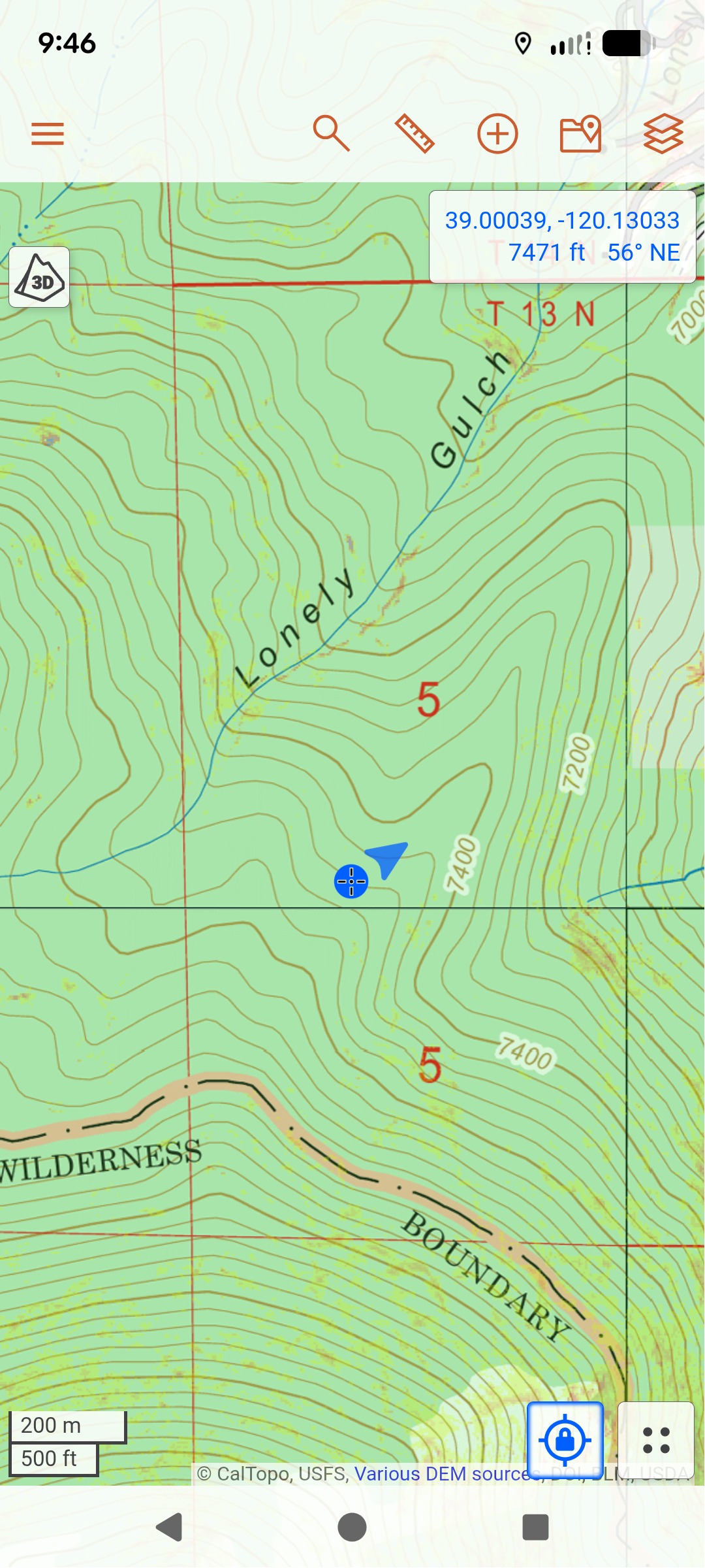
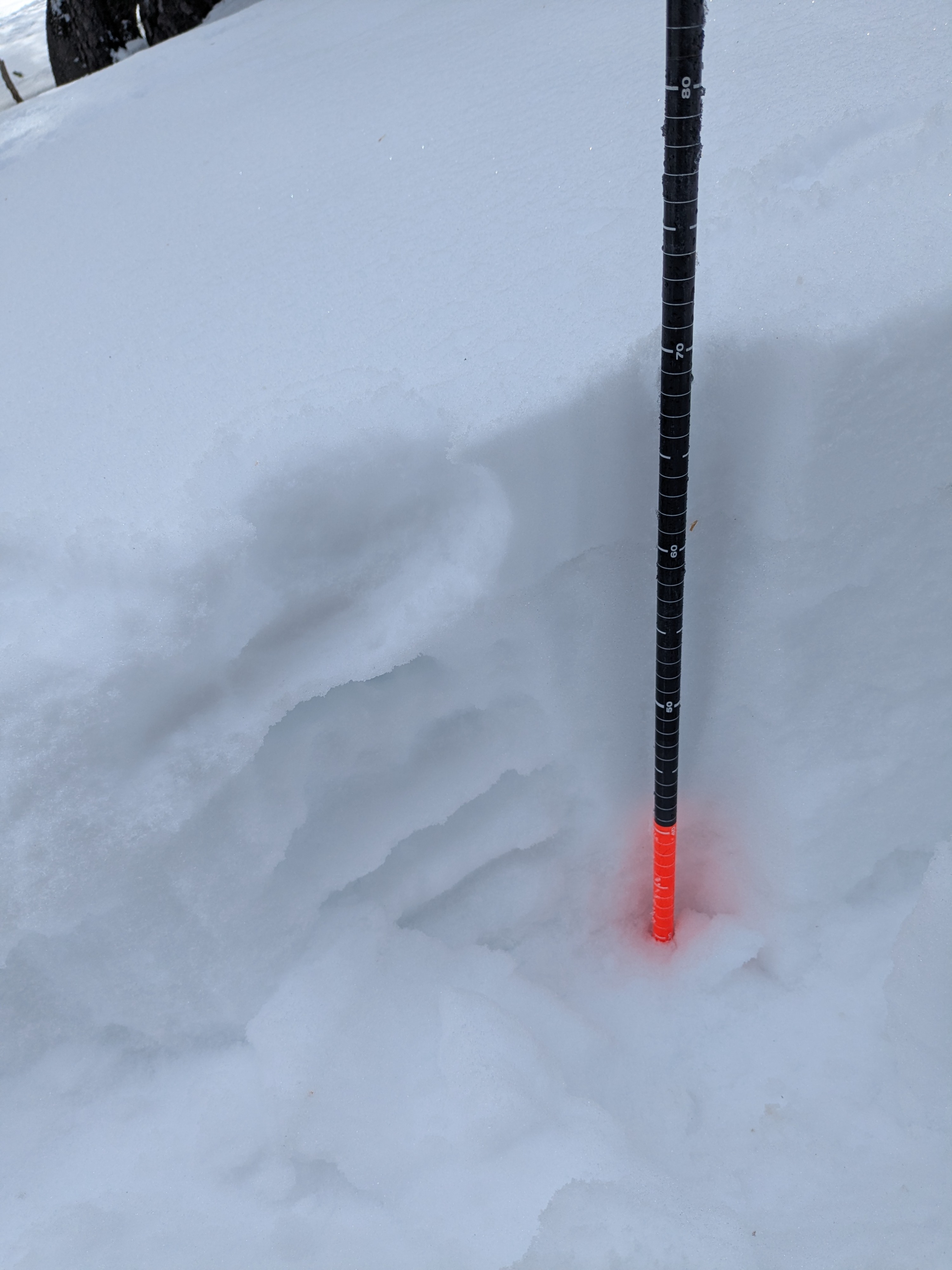
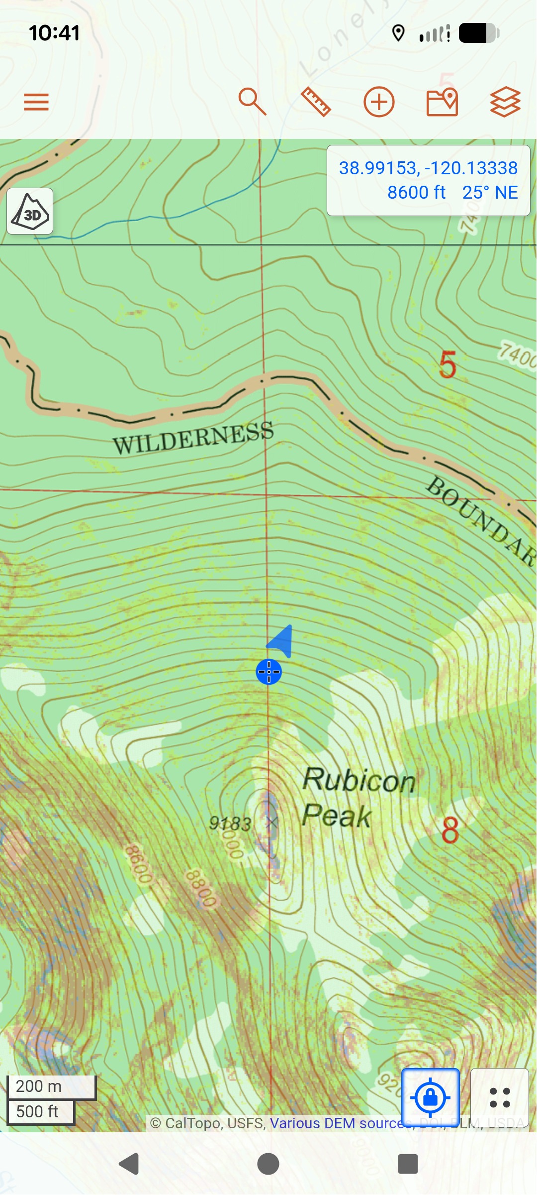
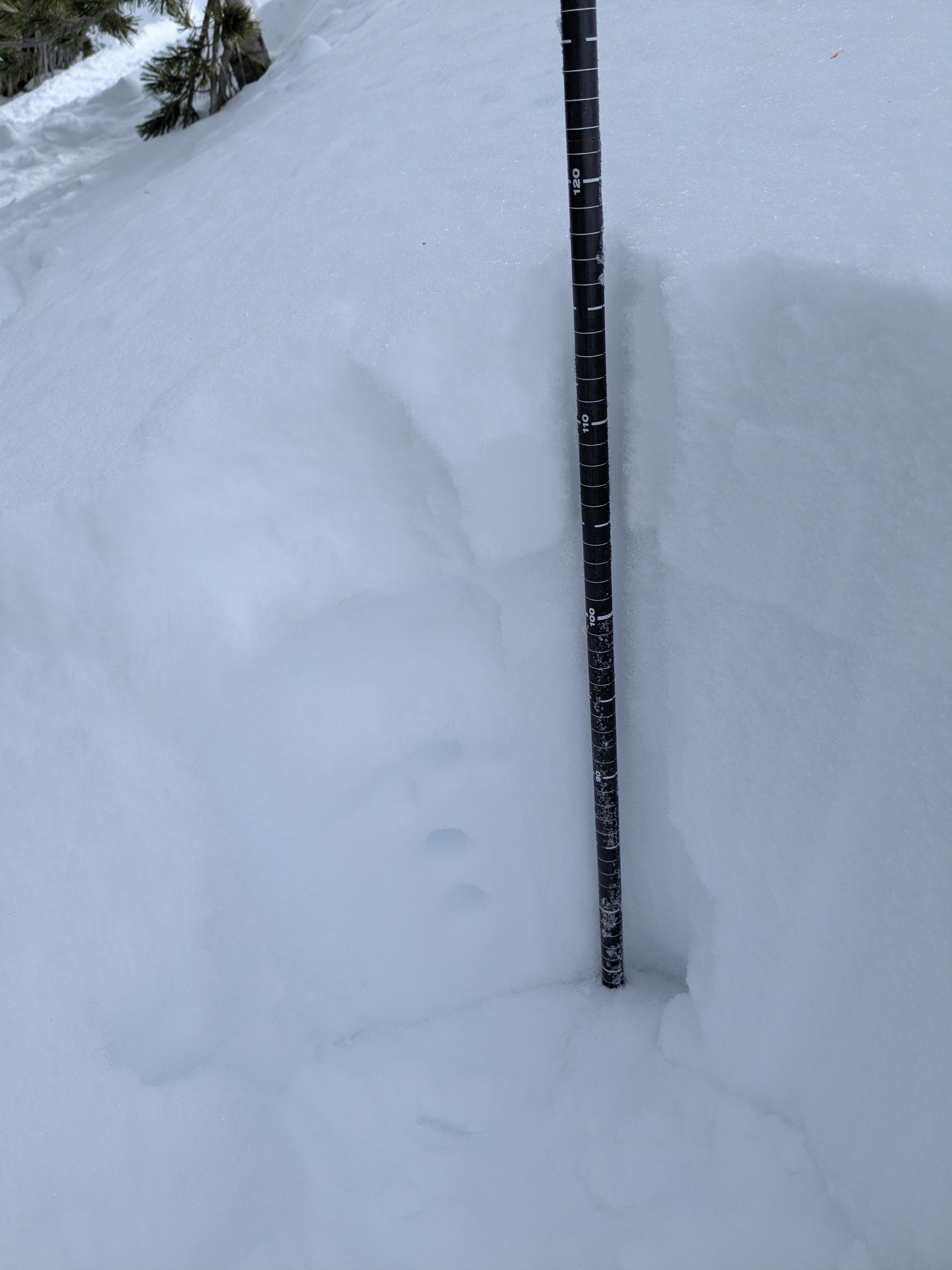
I toured the north slopes of Rubicon Peak this morning. There was about 6 to 7 inches of recent storm snow. I dug 4 pits (3 testpits and 1 documented profile) between 7,400' and 8,900'. All 4 pits contained the Feb 10 facet layer. Matching with expectations, the pit at 7,480' had thick crust and the facet layer was stronger (4F hard, moist). In this lower elevation pit I got a CT-29 BRK result.
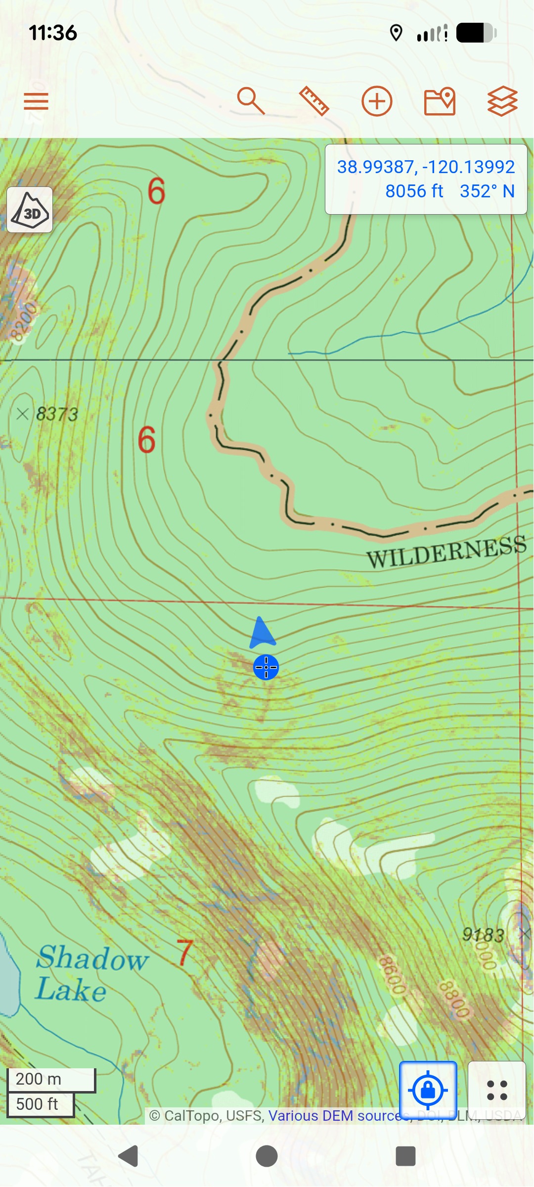
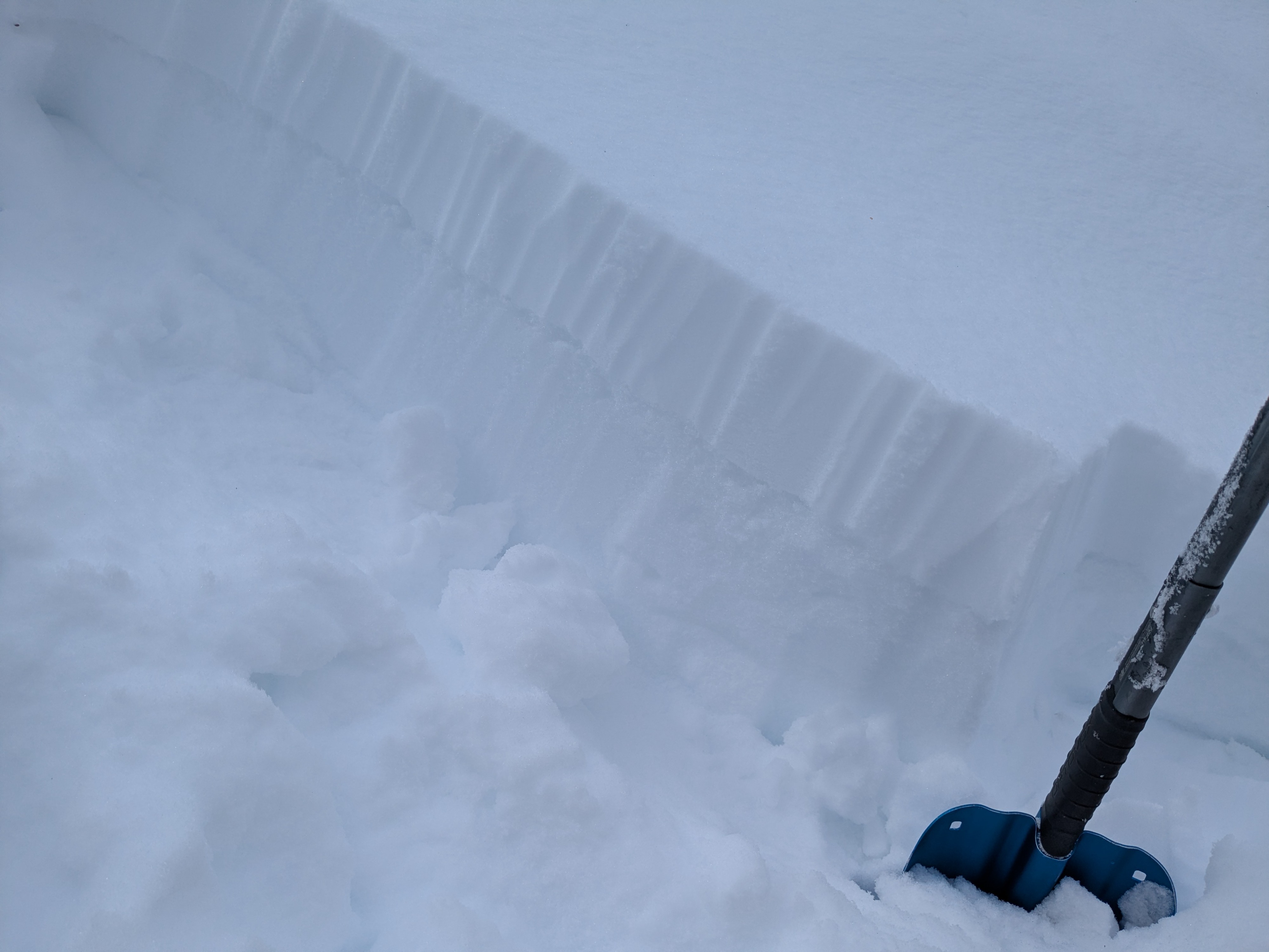
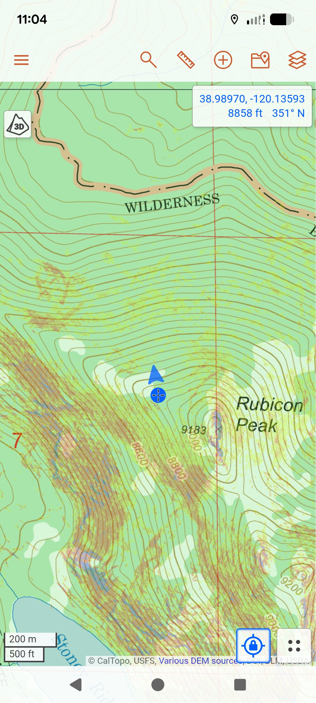
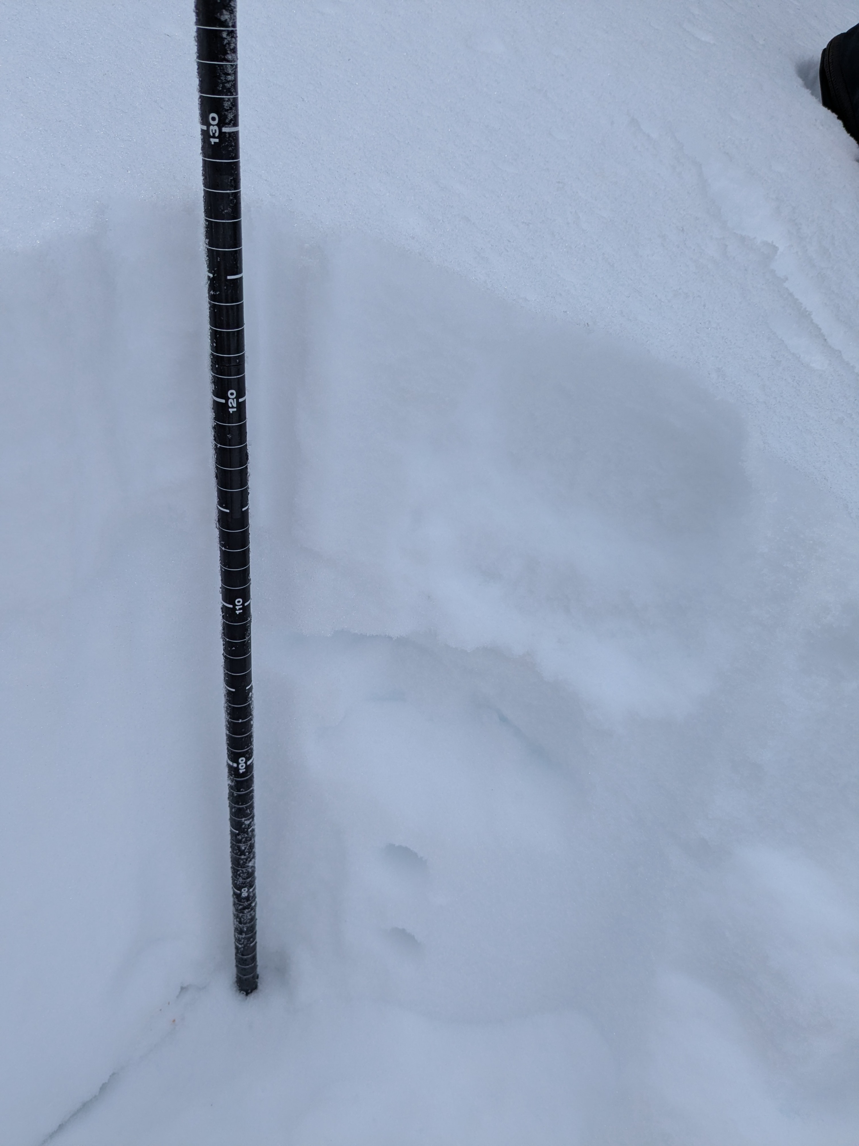
In my 3 other pits 8,090' and above, the Feb 10 facet layer was weaker (F hard, dry). At 8,090' there was a 1 cm thick rain crust along the top of the Feb 10 layer. At my other two pits at 8,640' and 8,880', there was no crust along the top of the Feb 10 layer. Tests in all of the pits above 8,000' had CT results with sudden collapse. In these pits above 8,000', I also got ECTN and PST SF results due to a very weak overlying slab of recent new snow. Currently the overlying slab it too brittle to propagate in most locations.
High level cloud cover thinned during the late morning hours. By midday I was noticing that the snow surface was becoming wet on low angle, sun exposed north aspects below 8,000' or so.