
Quick report
- Collapsing
- isolated
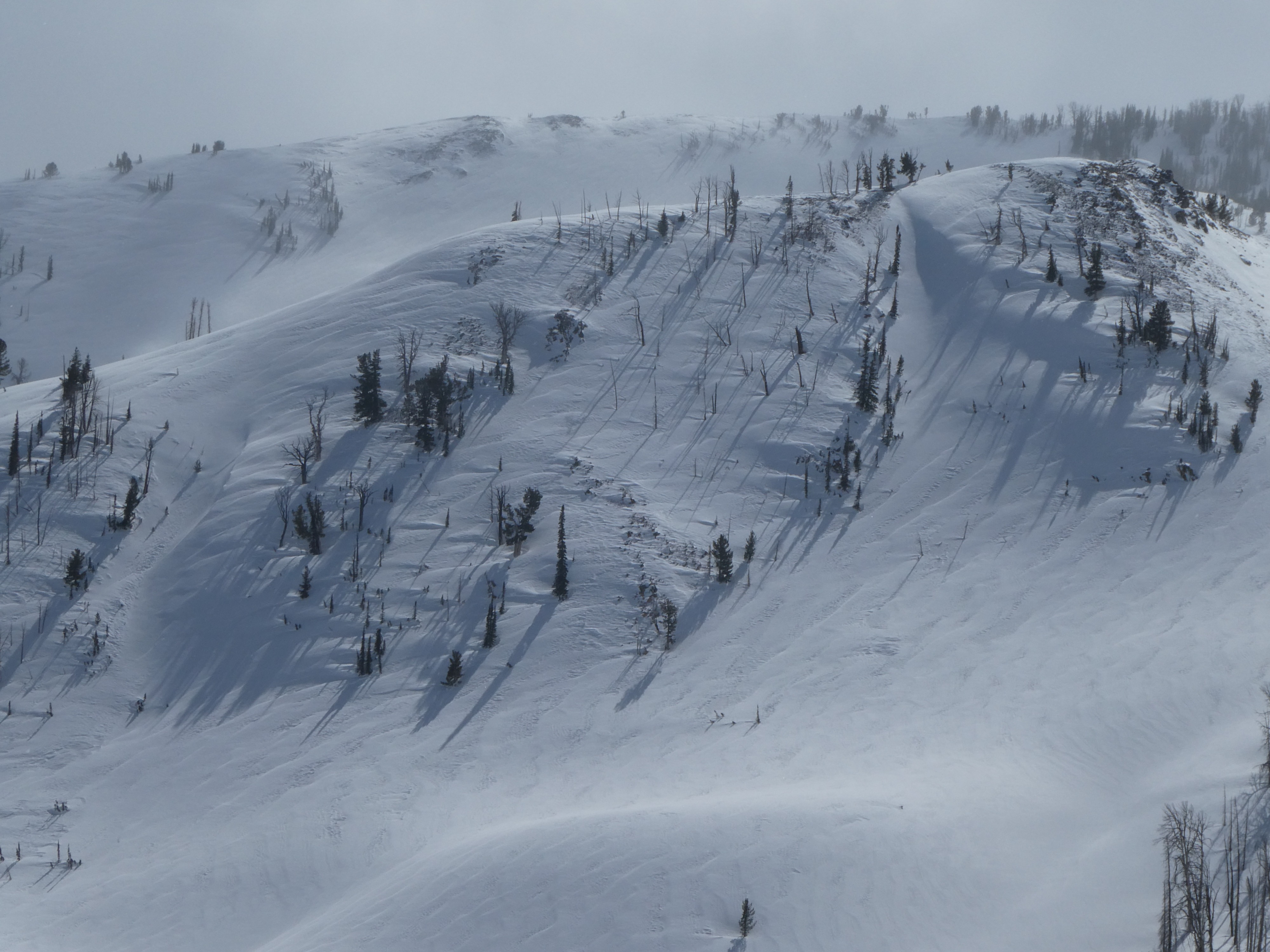
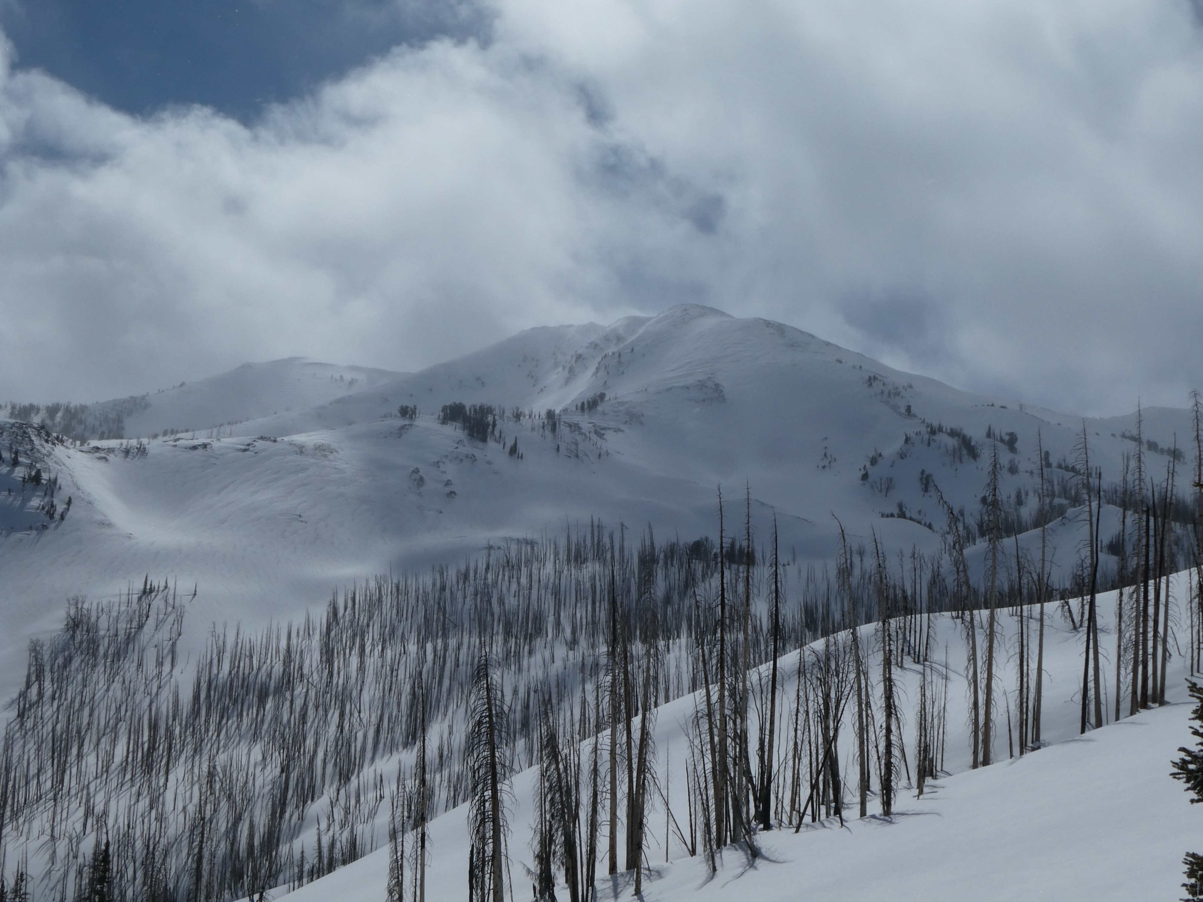
We observed actively drifting snow, with moderate winds moving snow down to 8500'. These drifts were not thick enough to be a concern where we traveled. Looking into the alpine towards Castle Pk, we could see obvious signs of wind-transported snow (dunes and ripples, see photo). This is where we felt a wind slab avalanche could be triggered. Mid-pack weak layers were present but unreactive in stability tests, buried 2-3' deep. With intermittent sunshine, the snow surface became moist, trending to wet on sun-drenched slopes.
We felt one small collapse along a wind-loaded ridge line (SE aspect, 8600')Weather
- Cloud Cover
- scattered
- Wind Loading
- light
- Recent Snowfall
- 5-8
- Snow Avail For Transport
- moderate amounts
Skies were partly to mostly cloudy through the day. Winds were light from the NW, with moderate gusts. Short periods of S-1.
Snowpack
Moderate gusts were forming thin, fresh drifts, drifting the 5-7 cm of new snow that fell last night. These drifts were not thick enough to pose a problem where we traveled today. Deeper in the snowpack, we were able to pull off the upper 45 cm in hand pits; this weakness was likely from a lull in snow showers during last weekend's storms. Below about 8200' above Castle Ck, recent snowfall fell over a soft, moist crust on due S slopes, and with today's intermittent sunshine, the surface snow had already begun to wet. Crusts were well-frozen above 8200'.
We did not observe any signs of instability, such as snowpack cracking or collapsing, on buried weak layers (03/12). In our stability tests, mid-pack weak layers down ~75 cm were unreactive (ECTXx2).
Avalanche
We observed a two small slides in the steep rocky terrain on the E facing chutes of Backdrop Pk.