
Quick report
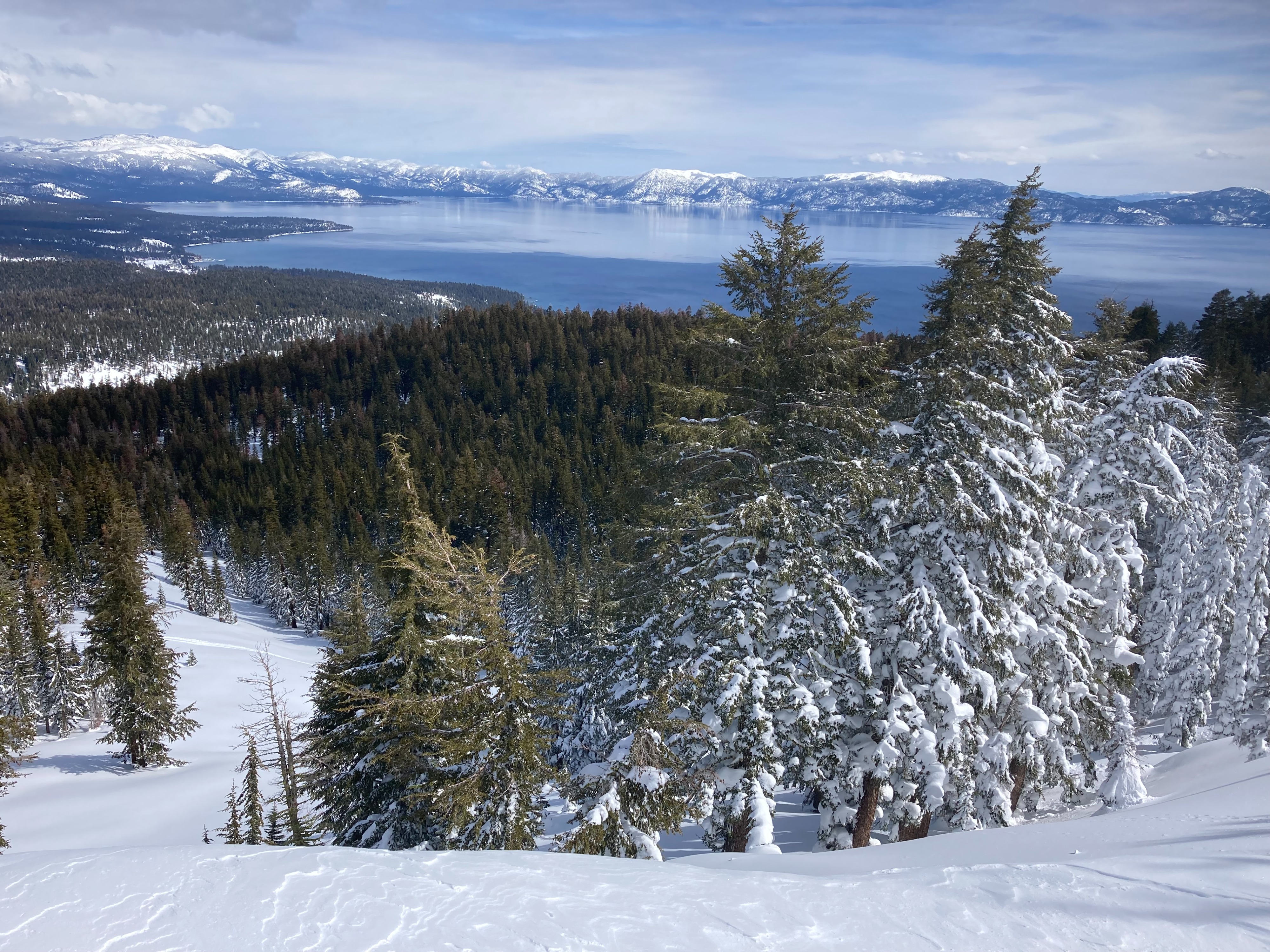
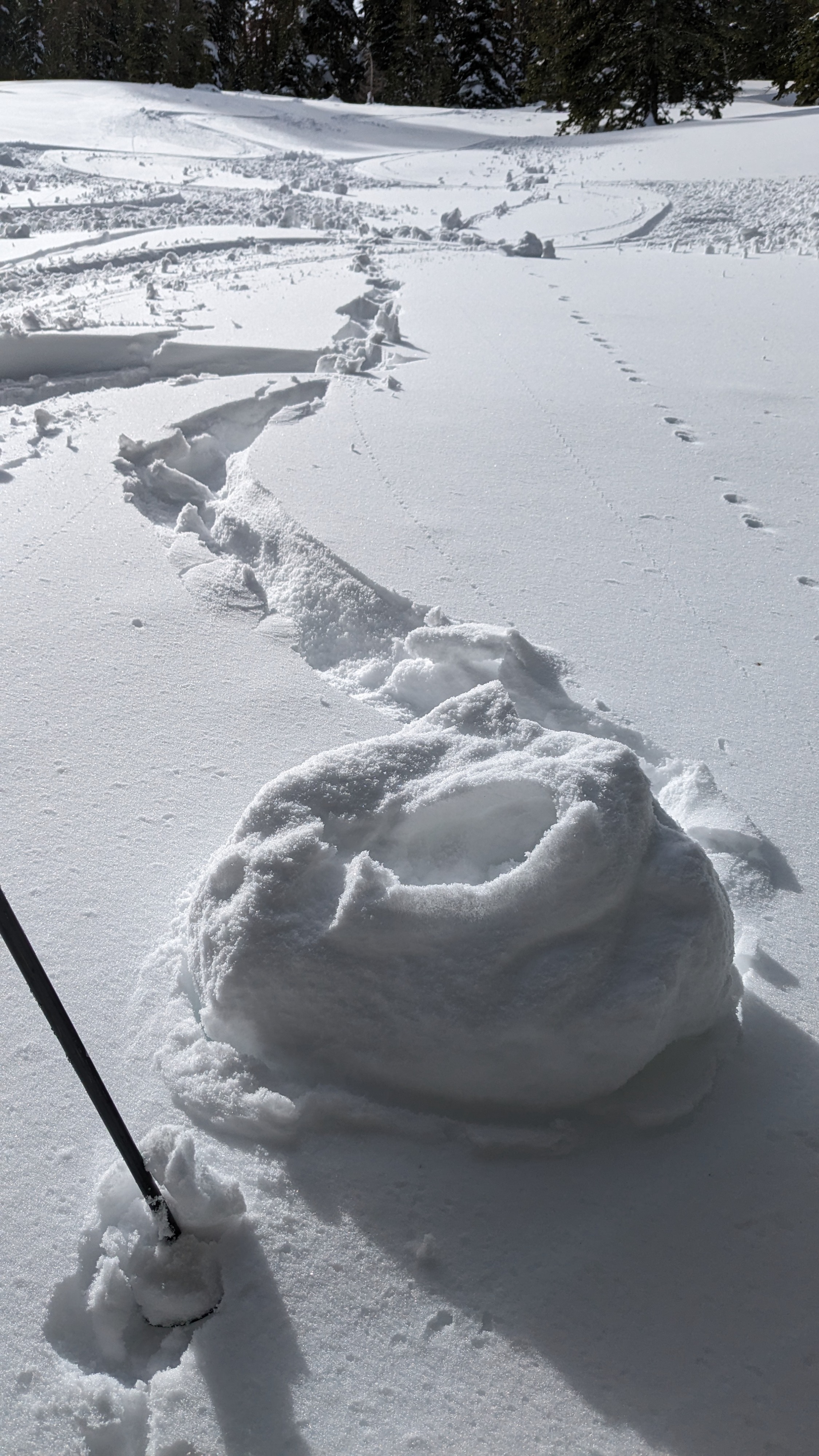
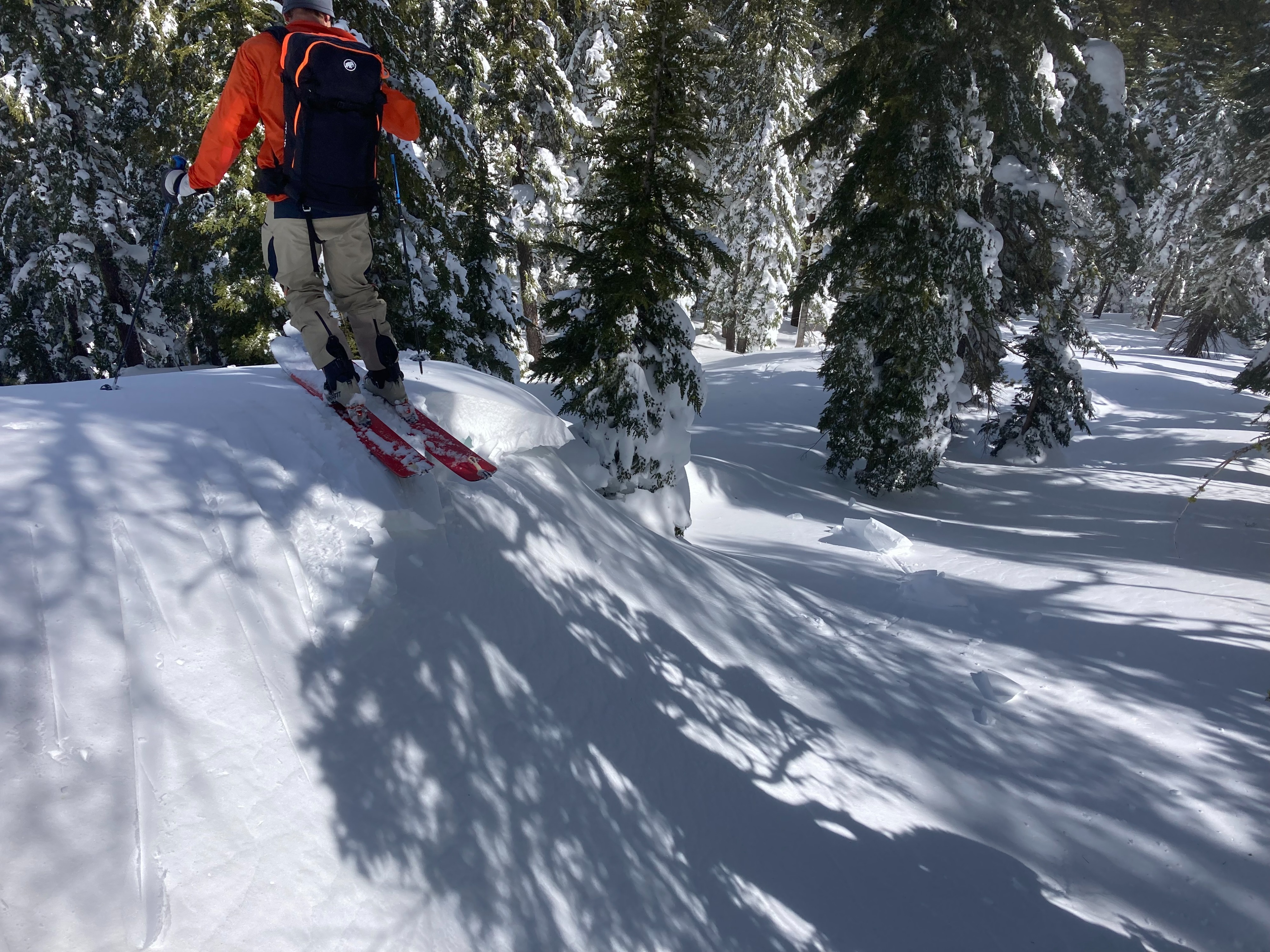
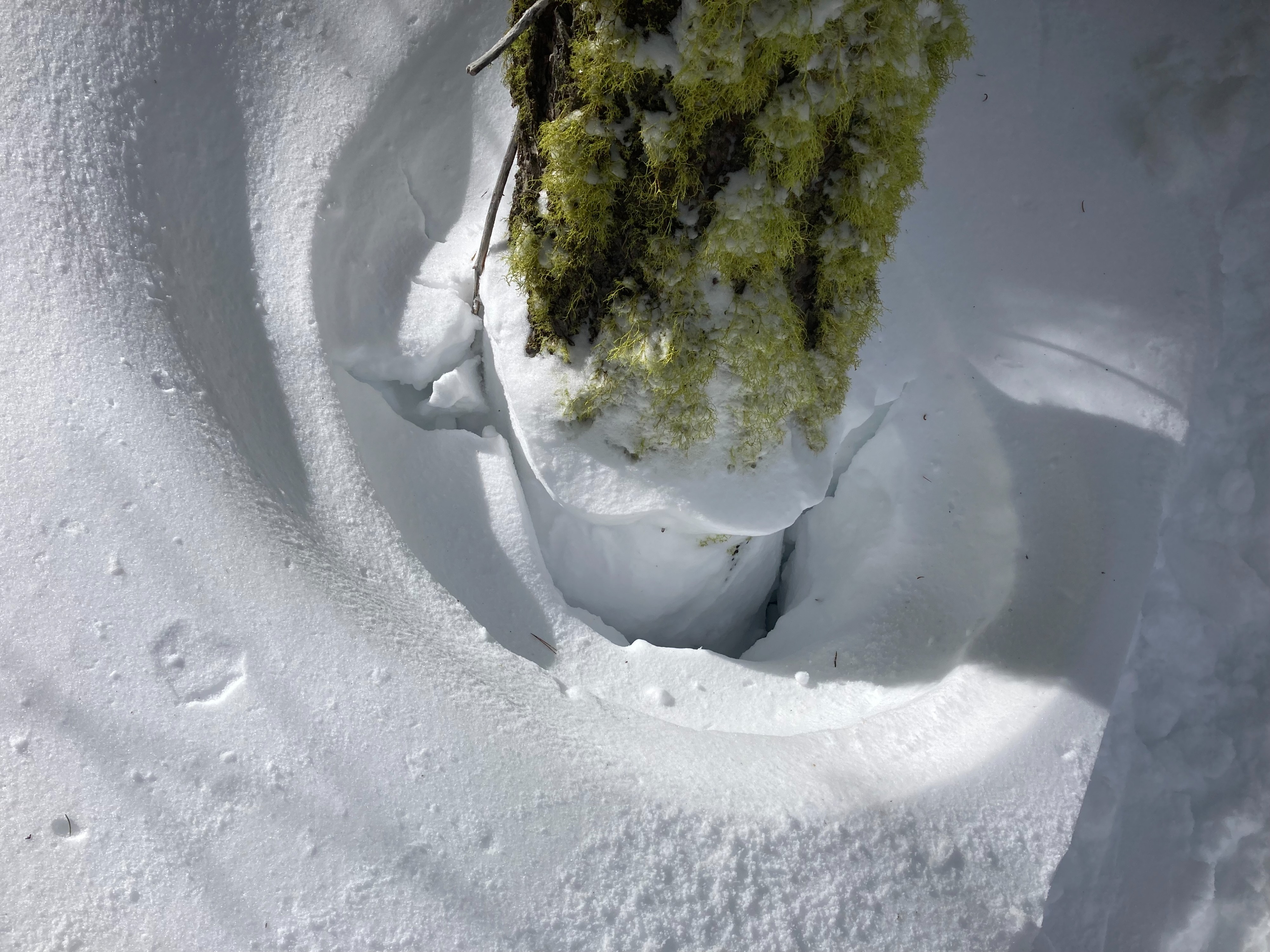
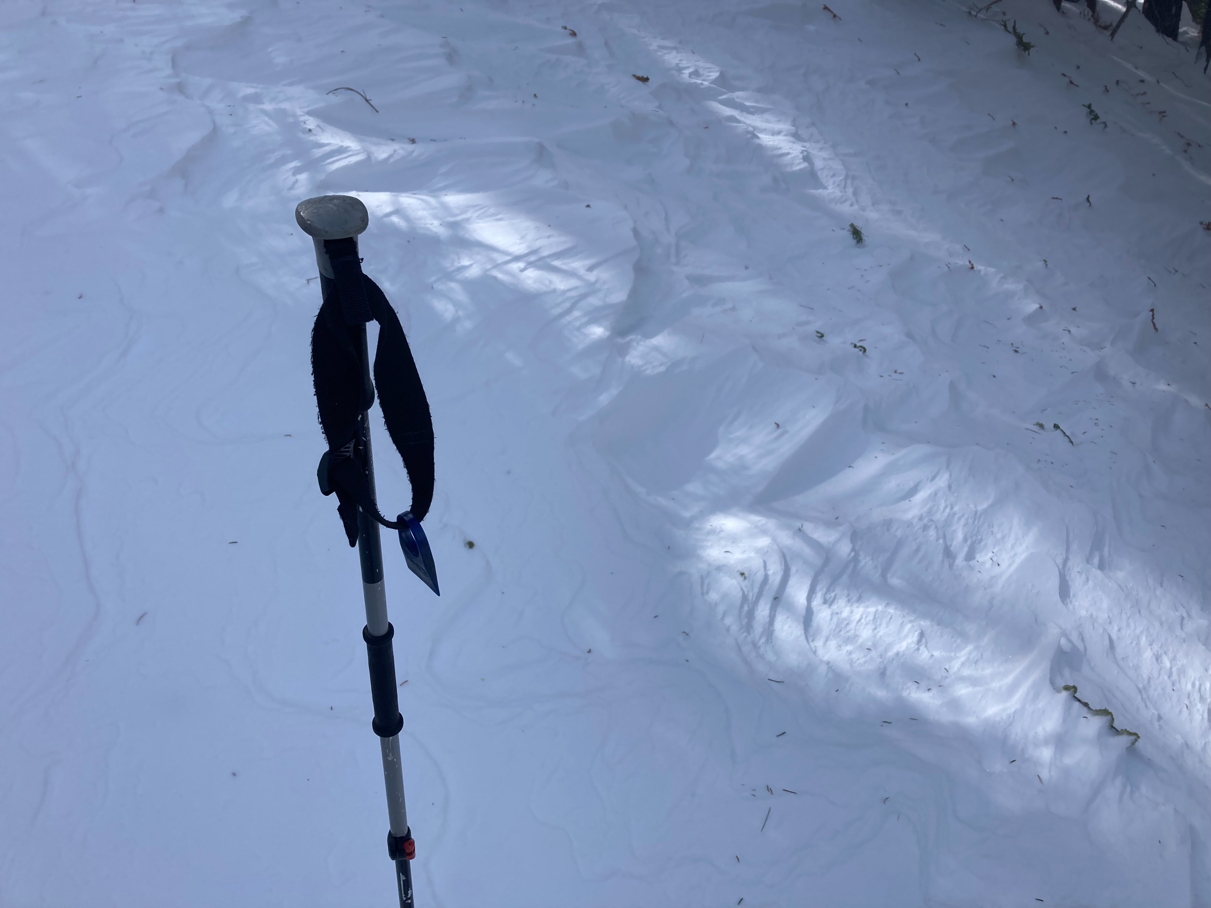
We toured up to Stanford Rock today looking for lower elevation wind protected northerly terrain. The recent SW winds had been present throughout this area with wind scoured and textured snow in all but the most wind protected locations. Wind loaded test slopes showed little signs of instabilities today. Snow surface conditions were transitioning with most aspects developing wet and heavier snow by midday. Wind protected northerly aspects still held mostly cold snow above 7200', with wet surface snow below 7000' and roller ball and pinwheels developing. Tree drippings and bombs were becoming more common by midday. Cloud cover was less than forecasted in this area with more solar radiation and wet snow than expected. We saw a few past wind slab avalanches and cornice collapses that occurred several days ago during the storm.
Weather
- Cloud Cover
- broken
- Wind Loading
- previous
- Recent Snowfall
- 0
- Snow Avail For Transport
- small smounts
High thin clouds with increased solar radiation and some periods of full sun. SW winds were mostly light with some moderate gusts along the upper ridges and peak.