
Quick report
- Cracking
- specific
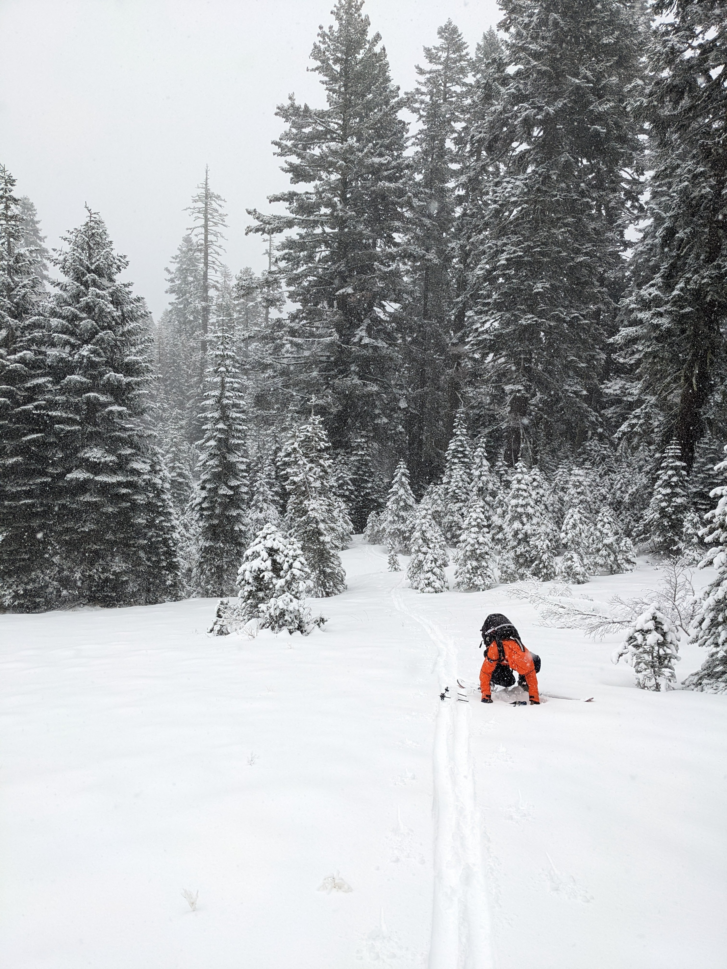
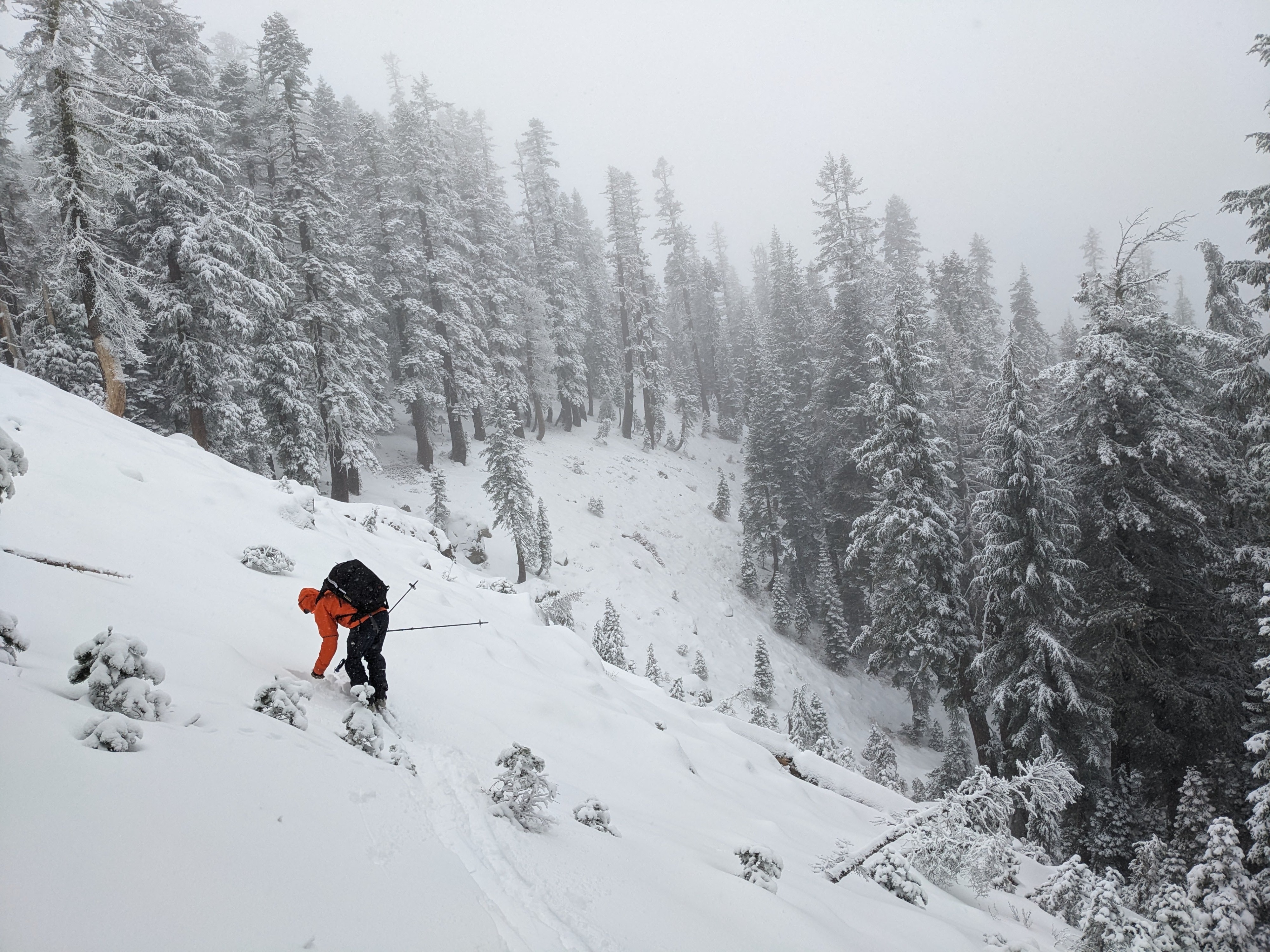
After seeing the reports of a wind slab avalanche on Mt. Judah yesterday, we decided to visit the Castle Peak Andesite Ridge area to assess similar terrain. 3-4 inches of new snow greeted us at the parking area and provided enough coverage for us to skin up Castle Peak Rd. During our tour, we encountered a variety of conditions.
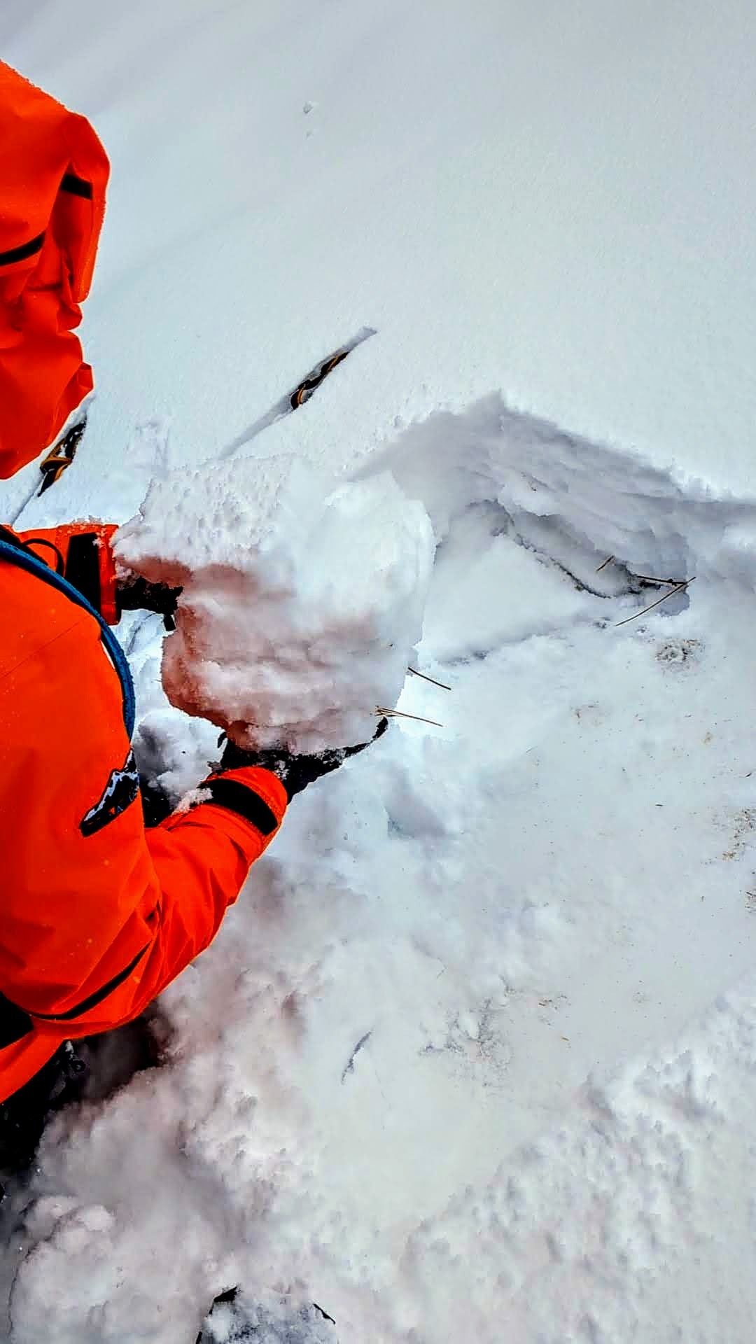
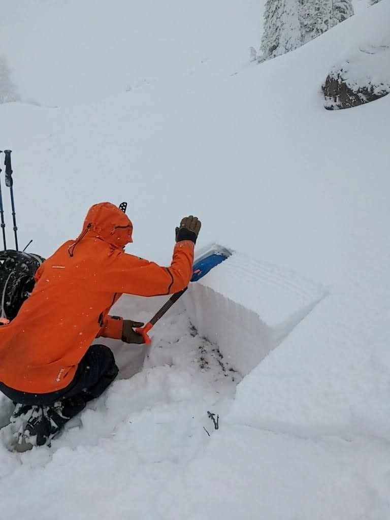
Below treeline in sheltered areas, the new snow rested on a thin layer of buried surface hoar and weak, sugary snow. A firm rain crust existed below this weak snow. We carefully moved higher onto Andesite Ridge, and finding that thin layer of weak snow became more challenging. The rain crust below the new snow also got much thicker.
The mid-elevation, near treeline avalanche paths on Andesite still had plenty of larger trees and rocks poking up through the snow. Still, the supportable crust has allowed almost continuous snow coverage across the start zones. Hand pits in these areas showed the new snow resting either directly on the crust or on a much thinner and less developed weak layer on the crust.
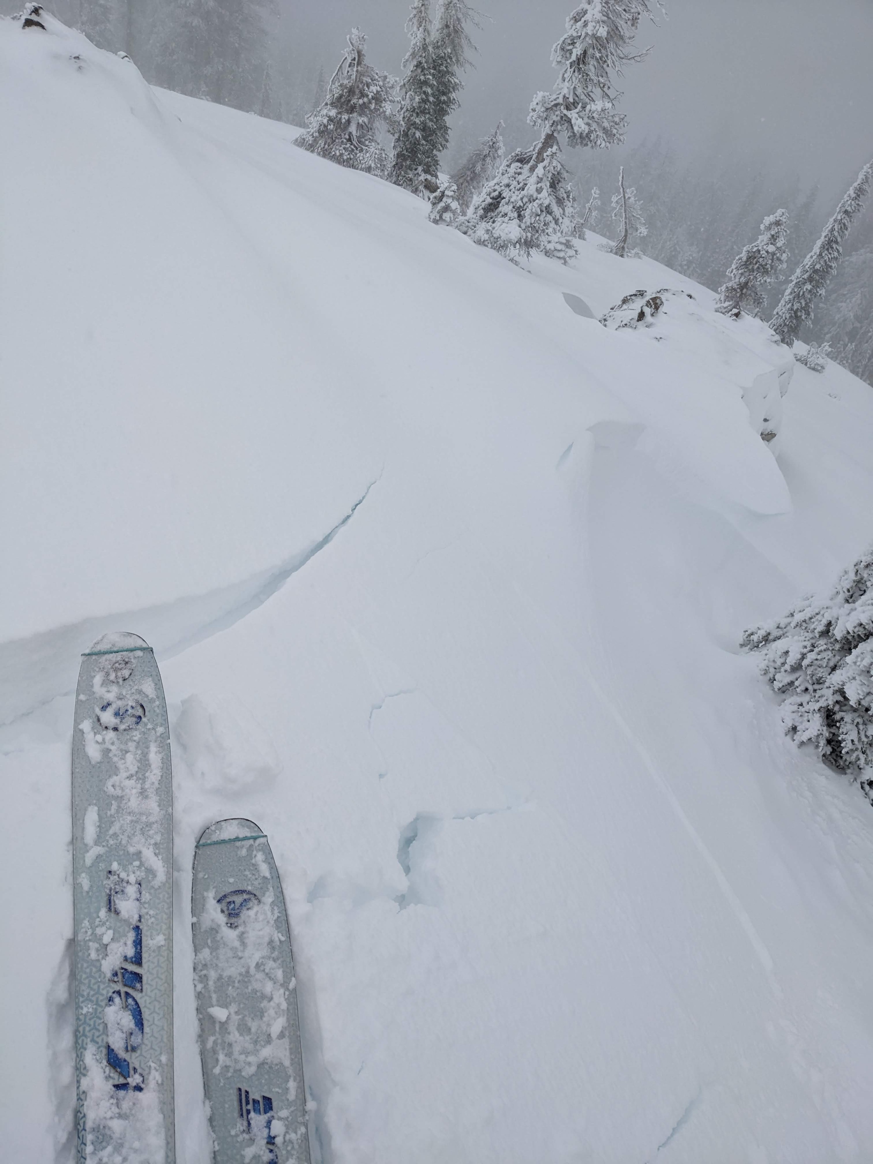
Once we crossed into the more exposed areas near the top of Andesite Peak and on the West Ridge of Castle Peak, we found wind-drifted snow on the leeward aspects and small cornices on the ridgeline. Most of these remained small and extended only a short distance down the slope. Ski kicks on the slabs of drifted snow did cause some shooting cracks, with the largest crack traveling about 10 ft from my ski tips.
We could feel the upside-down layering in the new snow throughout the tour. The top couple of inches were heavier and more cohesive than the snow that fell at the start of the storm. This storm snow has started to consolidate above the old snow surface of firm crusts and weak snow in some areas.
There are still numerous rocks, trees, logs, etc, poking through the shallow snowpack. Still, this area's coverage was better than expected due to the supportable crust below the new snow.
Skier kicks tirggered shooting cracks in some wind-loaded areas. Most of these cracks did not extend more than a foot or two since the wind drifts remained small. In the most heavily wind-loaded area the cracks traveled about 10 ft from my ski tips.Weather
- Air Temp
- 32
- Cloud Cover
- overcast
- Wind Loading
- moderate
- Rain Elevation
- 6800 - 7000 ft.
- Recent Snowfall
- 10
- Snow Avail For Transport
- moderate amounts
Winds were less than expected on teh ridges with only small to moderate amounts of snow transport. Above 7000 ft light snow fell throughout our tour. Below 7000 ft the snow changes to light rain.