
Quick report
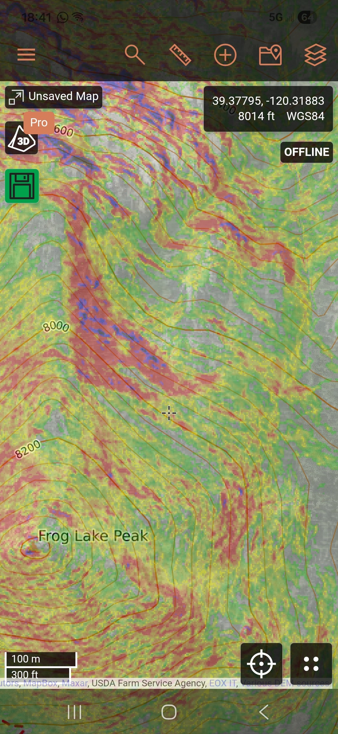
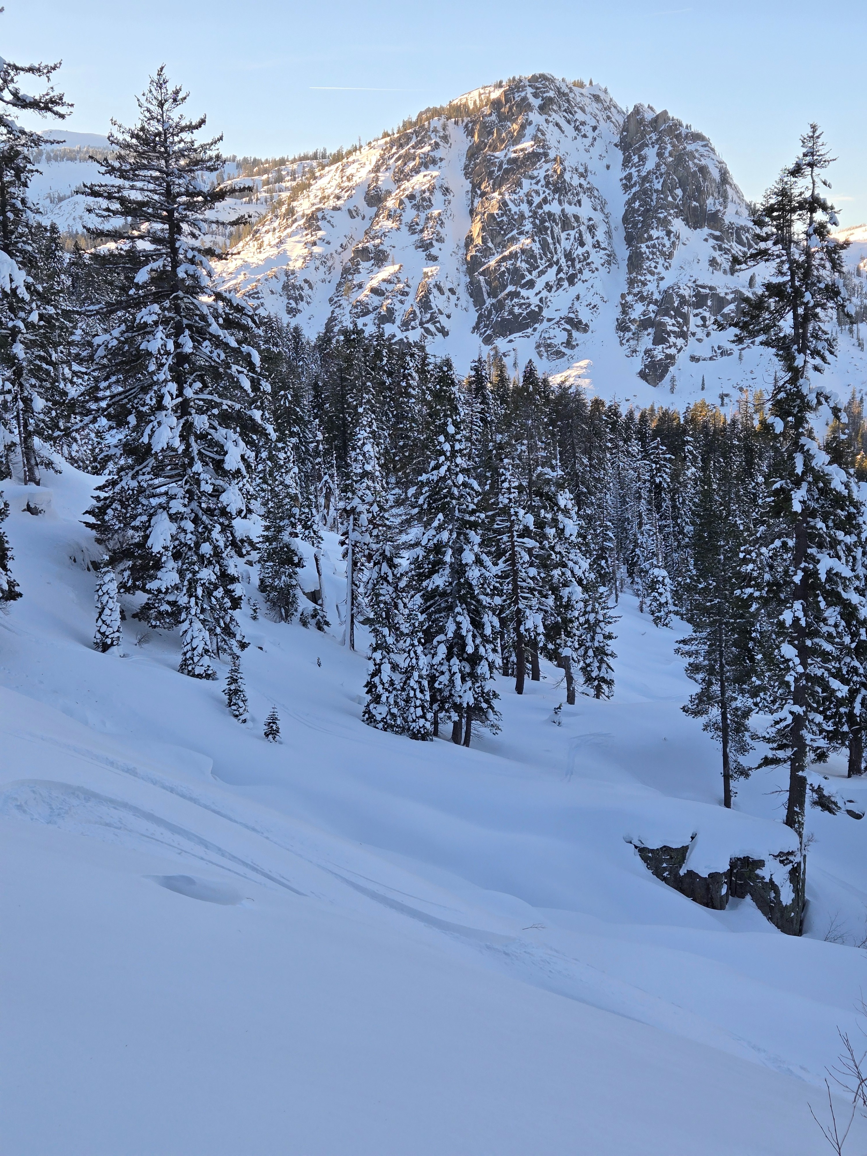
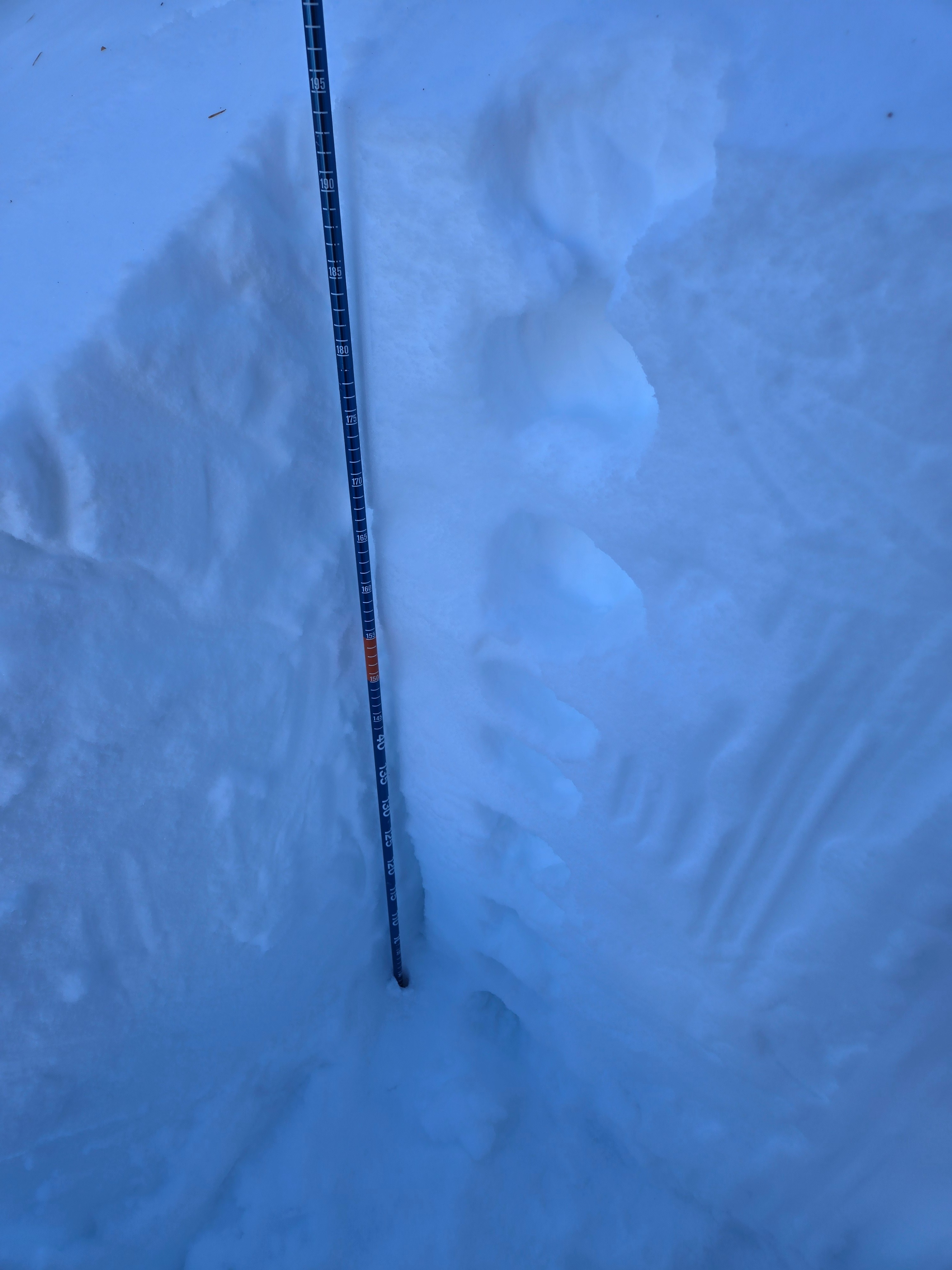
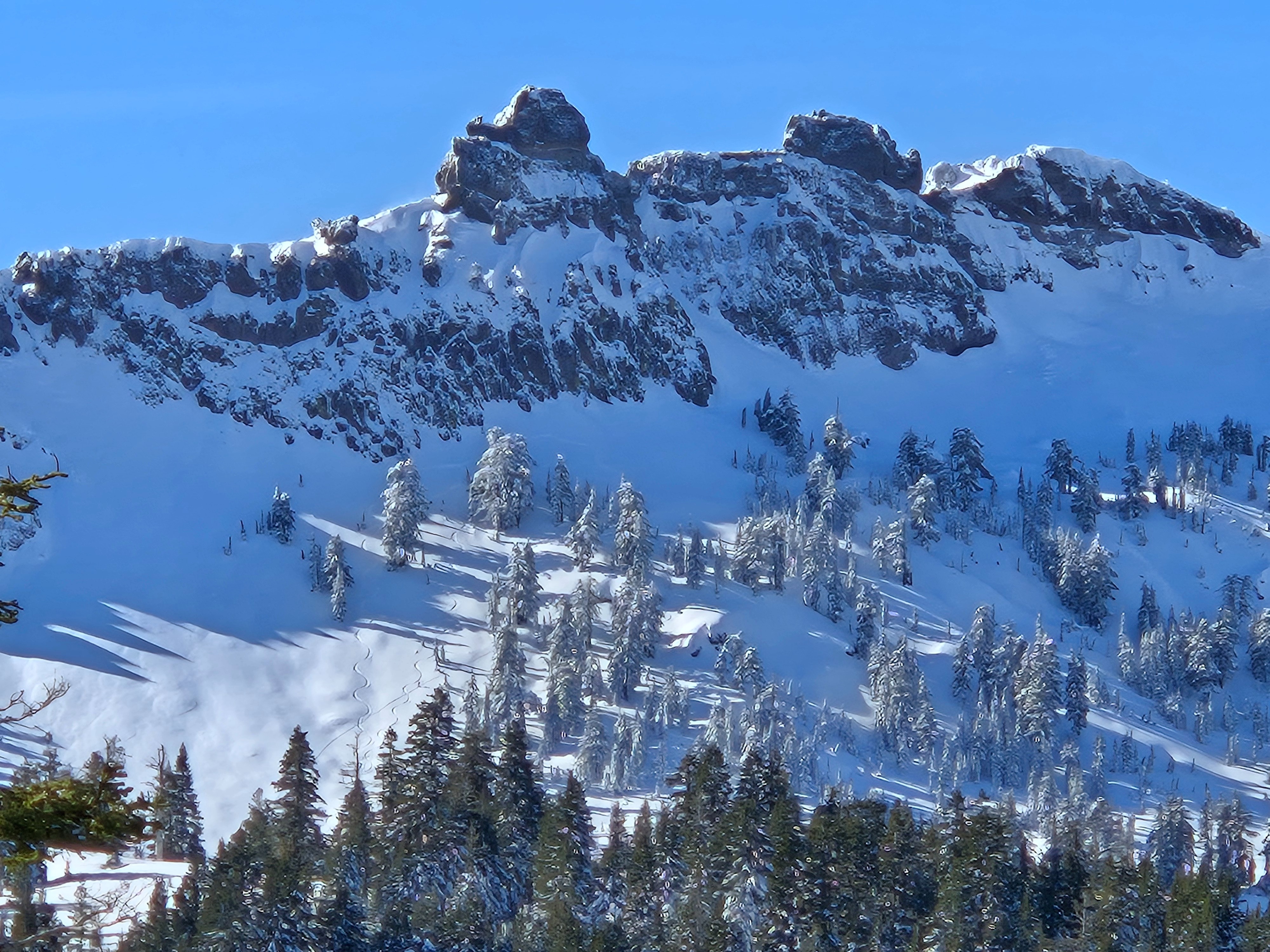
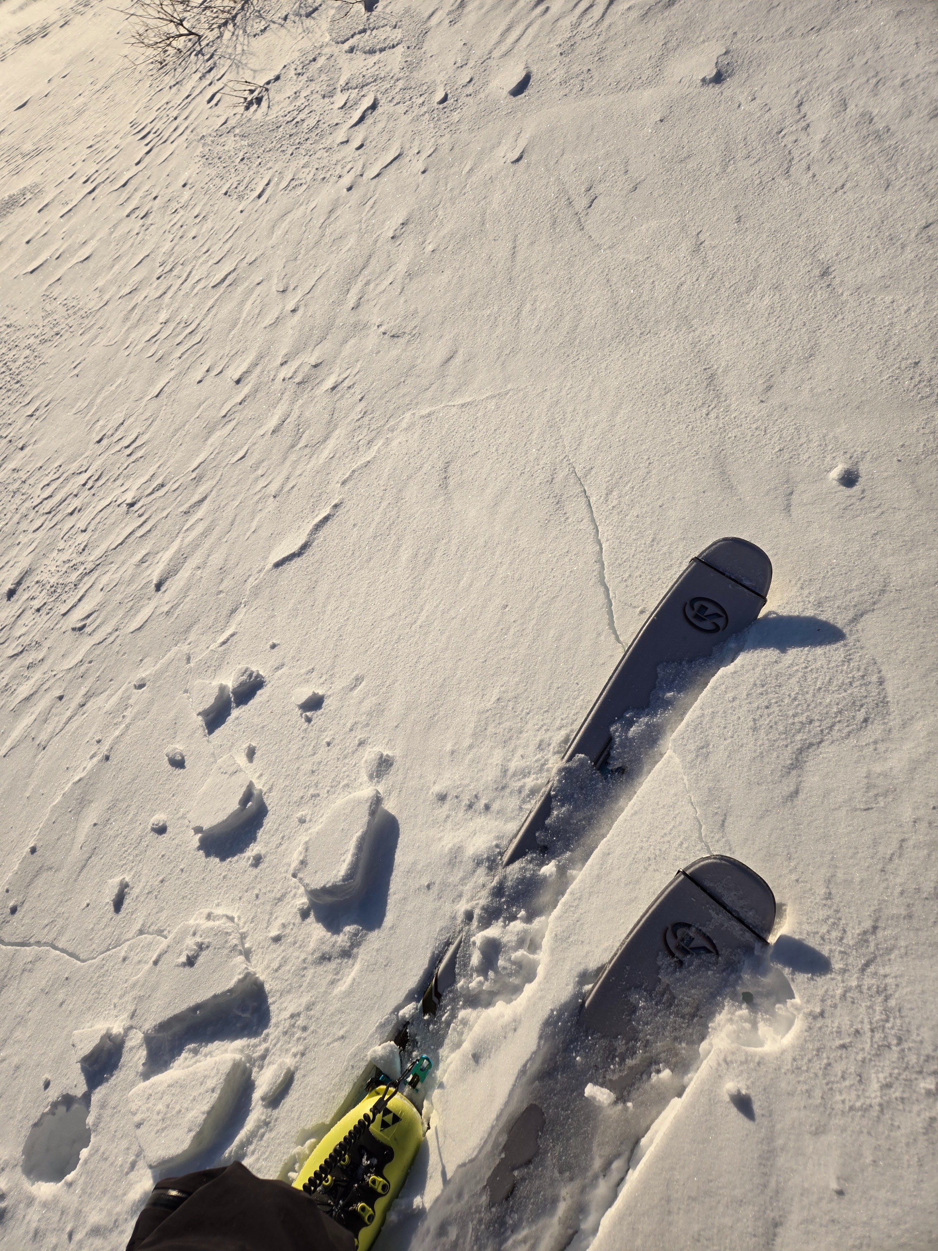
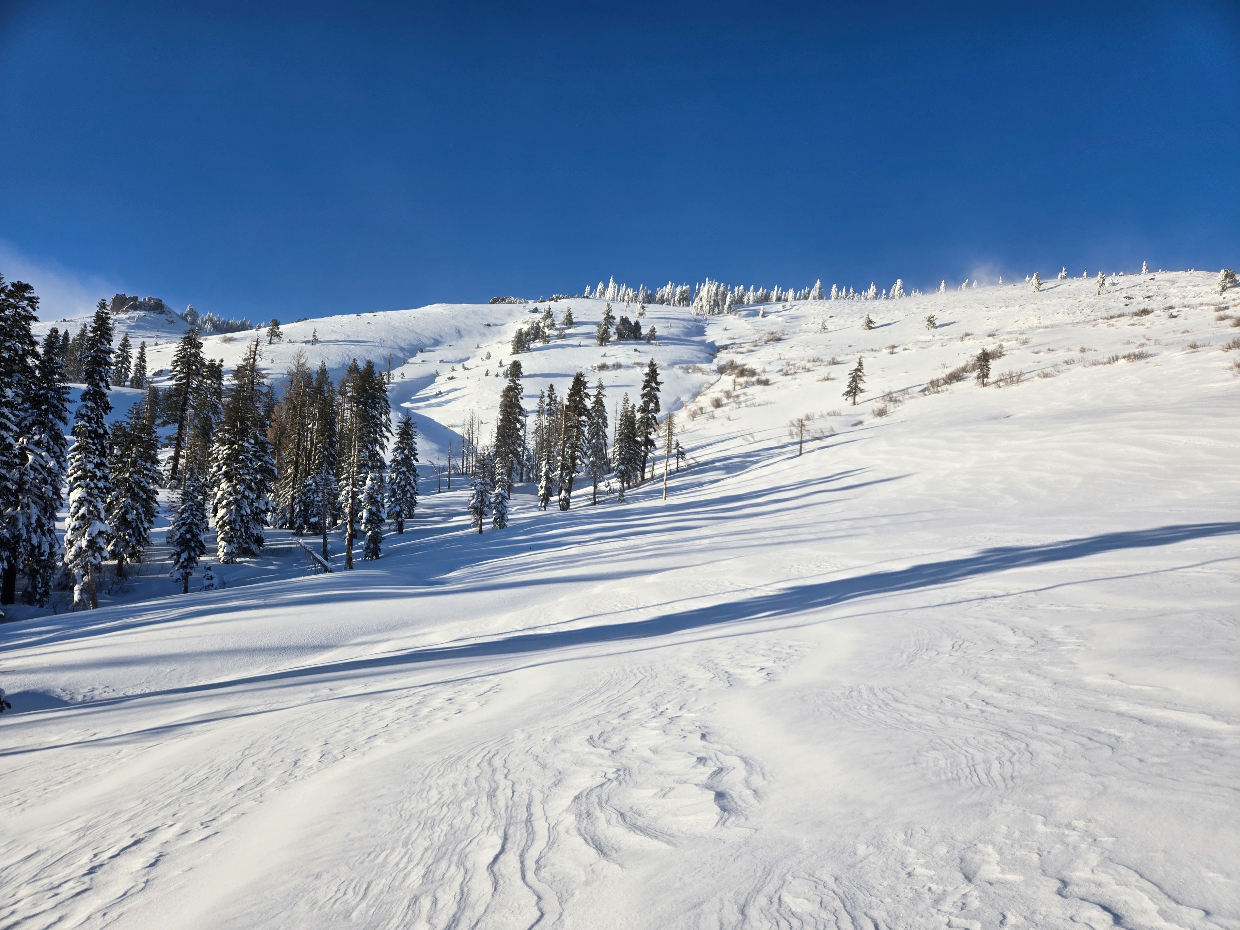
Northerly aspects above 7500' hold roughly 1 m of new snow from the last storm cycle. In a tree sheltered area at 8000', NE aspect, 35 deg slope angle with little wind effect dug a pit and got ECTN7 at 180 cm with HS=200 cm. This appeared to be at the bottom of the snow that fell on Wednesday. Wednesday'ssnow stayed cold on N,NW aspects above at least our low point of 7100'. Below 7500' and on more solar aspects there is a melt crust about 20 cm down from the surface underneath the snow that fell on Wednesday. On Jan 8 we encountered 30+ mph winds out of the northeast as we toured up and over the Castle Peak plateau from south to north. Heavy wind loading with propagating cracks on the lee side of the ridges. Temperatures in the lower teens F on the plateau.