

Lawinenlagebericht

Presidential Range

Mount Washington Avalanche Center
Auf der Karte ansehen

Lawinengefahr

Mon
Hochgebirge
2 · Mässig
Waldgrenze
2 · Mässig
Unterhalb
2 · Mässig
Veraltet — dieser Lagebericht ist 6 years ago abgelaufen. Du siehst vergangene Verhältnisse, nicht den aktuellen Bericht.

Kernpunkte

Strong wind has significantly affected the recent snow, creating large areas of firm, drifted snow  which will be difficult but still possible for a human to trigger. These larger wind slabs could be several feet thick and easily contain enough snow to bury a person. Smaller areas of softer snow will more likely be found in sheltered locations and at lower elevations, and will be more reactive to a human trigger. MODERATE avalanche danger exists, evaluate snow and terrain today carefully.

Lawinenprobleme

  • Wind Slabs

    • Hochgebirge
    • Waldgrenze
    • Unterhalb der Waldgrenze
    Wahrscheinlichkeit
    Possible
    Größe
    1–3

    Sustained NW wind over 100 mph has significantly affected the low density snow that fell over the past week. Expect large, stubborn wind slabs in lee and cross loaded terrain at mid and upper elevations. Strong wind events amplify spatial variability in the terrain and the generally stubborn nature of these hard slabs will make it difficult to assess the snow while making terrain choices in your travels. Given the size of these hard slabs in some locations, choosing to travel on them will present a low probability but high consequence avalanche problem.  

    Smaller pockets of less wind affected snow will likely be found at mid elevations in sheltered terrain that may be more reactive to a human trigger. High wind events often result in significant scouring particularly high in the start zones of available paths, but also lower in the ravines in locations exposed to the wind.

    Wind speed of 157 mph at 5:50am on the summit of Mt. Washington.
Avalanche Discussion

The 24” of new snow since last weekend has been affected by over 10 hours of NW wind over 100 mph. Middle and upper start zones will be either scoured or loaded with a stubborn hard wind slab. Typically, strong wind will scour the upper start zones and push wind slabs further down into the terrain. At mid and lower elevations including Crawford Notch, sheltered pockets of more reactive wind slabs likely exist. Peak instability for natural avalanches occurred yesterday sometime around mid-day. If you are out today braving the cold and see any possible evidence of recent avalanche activity, please take a picture and send us an observation


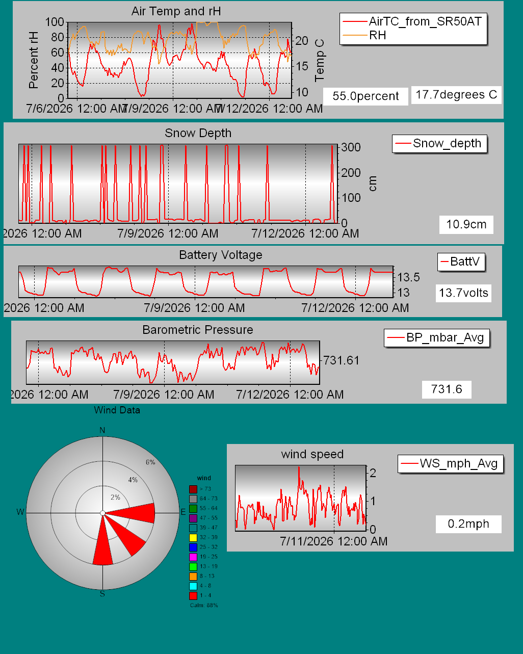
Details on daily snowfall totals, precipitation type, total depth of snow, and other information can be found on our page devoted to snow study plot data. Click here to check it out. Data collected hourly by the new automated weather station at Hermit Lake can be found hereand graphically here. Recent snowpack and avalanche observations can be found here. Your observations help improve our forecast product. Please take a moment and submit a photo or two and a brief description of snow and avalanche conditions that you see in the field.  The Harvard Cabin is open for camping only with no entry allowed inside the cabin.

Please Remember:

  • Safe travel in avalanche terrain requires training and experience. This forecast is just one tool to help you make your own decisions in avalanche terrain. You control your own risk by choosing where, when, and how you travel.
  • Avalanche danger may change when actual weather differs from the higher summits forecast.
  • For more information contact the US Forest Service Snow Rangers, AMC visitor services staff at the Pinkham Notch Visitor Center, or the caretakers at Hermit Lake Shelters or seasonally at the Harvard Cabin (generally December 1 through March 31). The Mount Washington Ski Patrol is also available on spring weekends.

Abgedeckte Regionen