Lawinenlagebericht

Southeast Mountains

Crested Butte Avalanche Center
Auf der Karte ansehen

Lawinengefahr

Mon
Hochgebirge
4 · Gross
Waldgrenze
4 · Gross
Unterhalb
3 · Erheblich
Veraltet — dieser Lagebericht ist 5 years ago abgelaufen. Du siehst vergangene Verhältnisse, nicht den aktuellen Bericht.

Kernpunkte

After a brief decrease in the avalanche danger since yesterday afternoon, we are ramping back up to HIGH avalanche danger and very dangerous avalanche conditions today. An extreme wind event combined with more accumulating snow will spur on another natural avalanche cycle in wind-loaded terrain today. If you need to burn off Santa's Cookies, wind-sheltered low-angle terrain would be the answer. Exposure to overhead hazards and travel in avalanche terrain is not recommended. Blowing snow and near white-out conditions may make it impossible to see avalanche terrain above you. 


Lawinenprobleme

  • Wind Slabs

    • Hochgebirge
    • Waldgrenze
    • Unterhalb der Waldgrenze
    Wahrscheinlichkeit
    Very Likely
    Größe
    1.5–2.5

    Extreme winds from the WSW will be loading the lee sides of terrain features. This could be near ridgelines and cross-loaded terrain features, or in more unusual locations such as lower in the terrain. Wind slabs could release in the upper snowpack, or step down to the persistent slab avalanche problem and become very large in size. Exposure to wind-loaded terrain should be avoided. Blowing snow and near white-out conditions will make it difficult to see overhead terrain. 


    An example of an avalanche earlier this season, that propagated widely below a wind-loaded ridgeline.  

  • Persistent Slabs

    • Hochgebirge
    • Waldgrenze
    • Unterhalb der Waldgrenze
    Wahrscheinlichkeit
    Likely
    Größe
    2–3

    Large and destructive avalanches releasing on northerly to easterly facing terrain remains likely. These same areas may further produce natural avalanches today where there is additional wind-loading. These thick slabs could release 2 to 4 feet deep on faceted weak layers in the middle of the snowpack, or 3 to 5 feet deep on weak layers near the bottom of the snowpack. 

    On southeasterly facing slopes, persistent weak layers exist in the middle of the snowpack. Large avalanches releasing 2 to 4 feet deep will be possible to human trigger and may run naturally where there is additional wind-loading today. 

    Given how thick these slabs are, you may not observe any obvious signs of instability. For example, two large avalanches were human triggered on Mt Emmons yesterday, while the groups were traveling in low-angled terrain near steeper terrain. Those groups didn't encounter any early warning signs, such as collapse or shooting cracks before triggering those avalanches. 

    The "new" avalanche was human triggered on 12/25, while the "old" avalanche released naturally on 12/24. 

Avalanche Discussion

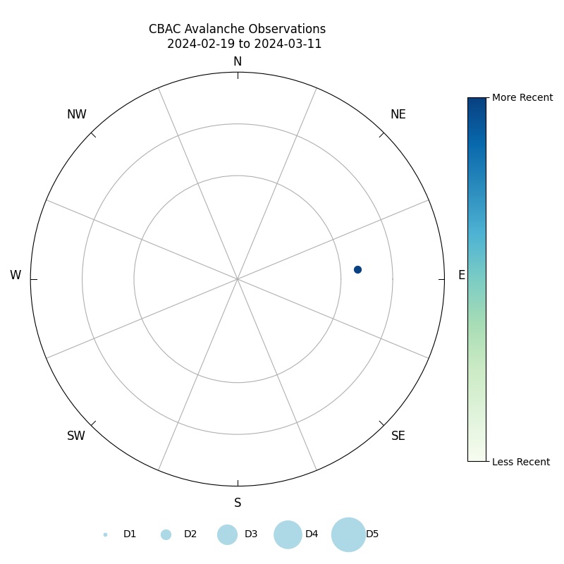
Saturday afternoon into Saturday night offered the snowpack a brief chance to adjust to the major loading event that occurred from last Thursday through Saturday Morning. That storm was dubbed the Santa Slammer, and the amount of snow that accumulated during that storm made its way into the record books. Clearing weather yesterday afternoon allowed observers to start taking stock of the natural avalanche event that occurred during that period. In this graphic of avalanche activity, the most recently observed avalanches can be seen dominating the northern and eastern half of the compass. The storm slab avalanche problem from the last few days was dropped today, and the persistent slab avalanche problem was expanded to cover the problematic areas on southeast and west-facing slopes. Weak layers were documented in that terrain previous to the Santa Slammer. An observation yesterday showed the Santa Slab being well bonded to the old snow surface on a south-facing slope below treeline. While any potentially problematic areas on upper elevations south-facing slopes or southwest facing terrain are expected to see wind-erosion during today's wind event and become less problematic than all other areas. Westerly facing slopes may also see wind-erosion today and those aspects will be reassessed after this wind event. 

Tomorrow the avalanche danger is expected to drop during another lull between storms. Monday's storm will be flirting with a potential push back to HIGH avalanche danger. Currently, the peek instability looks to occur on Monday Night. By tomorrow's avalanche forecast we will have reassessed the weather forecasts and if we will see another bump to HIGH avalanche danger. 

Abgedeckte Regionen