

Lawinenlagebericht

Sea To Sky

Mar 31 – Apr 1, 2024Avalanche Canada
Auf der Karte ansehen
Archiviert · abgelaufen 3 years ago

Lawinengefahr

Tue
Wed
Hochgebirge
3 · Erheblich
Waldgrenze
3 · Erheblich
Unterhalb
2 · Mässig

Kernpunkte

Back off steep sun exposed slopes as the surface becomes moist or wet.

The search for dry snow may draw you to high, north-facing slopes - watch for reactivity in leeward features.

Lawinenprobleme

  • Wind Slabs

    • Hochgebirge
    • Waldgrenze
    • Unterhalb der Waldgrenze
    Wahrscheinlichkeit
    Possible - Likely
    Größe
    1–2

    Watch for reactivity near ridgelines, or midslope rollovers. Recent snow may slide easily on an underlying crust. Rising temperatures may increase reactivity or possibly trigger natural avalanches.

  • Loose Wet

    • Hochgebirge
    • Waldgrenze
    • Unterhalb der Waldgrenze
    Wahrscheinlichkeit
    Likely
    Größe
    1–2

    Potential for wet avalanche activity (slab and loose) increases as temperatures rise, but concern is greatest on steep, sun affected slopes. Avalanches may initiate easily on the smooth crust below.

Confidence

Moderate

Avalanche Summary

Natural and rider triggered wind slabs were reported in alpine and treeline features primarily near ridges (see photos below), and wet avalanches were observed on sun affected slopes and low elevations.

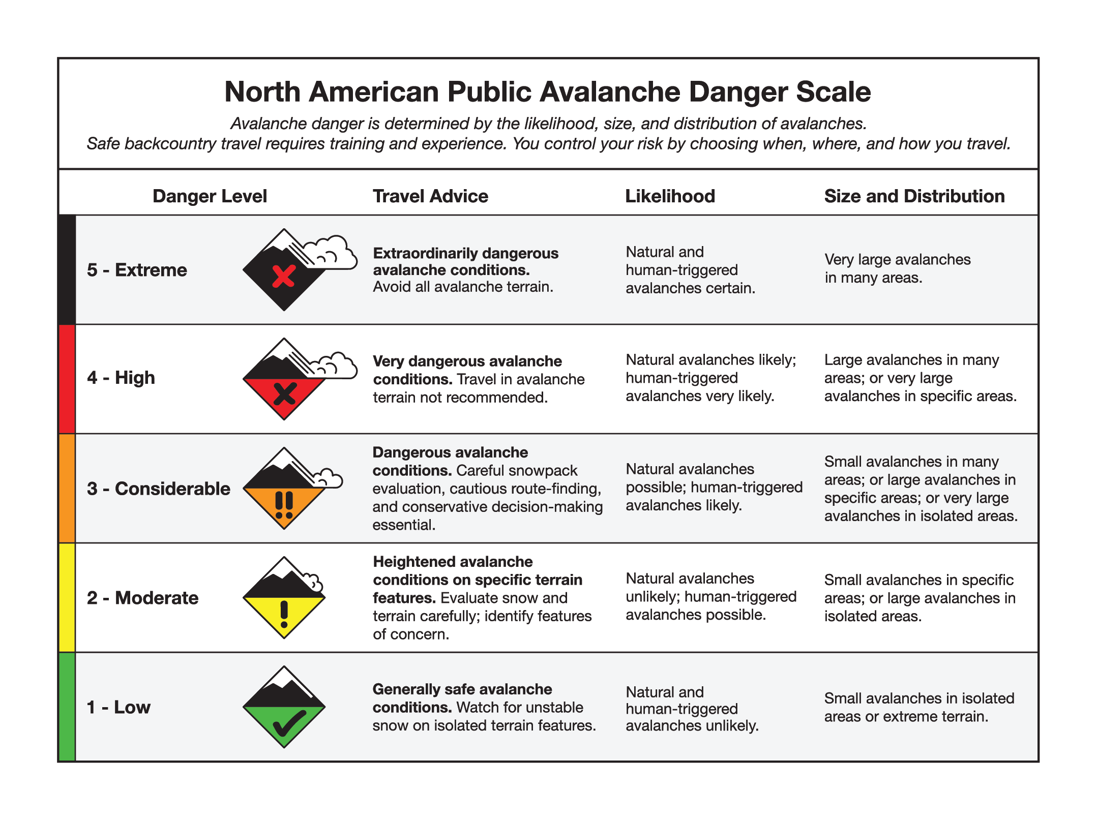
We expect activity to increase on these specific features, as higher temperatures and strong sun weaken the snowpack. Natural avalanches are possible and human triggered are likely. Check out the full definitions of moderate and considerable danger here.

Snowpack Summary

Around 30 cm of dry snow can likely still be found on high north facing slopes with deeper deposits near ridgelines. All other aspects and elevations have likely become moist or wet with warm temperatures and sunshine. Below the recent snow, a widespread crust exists in all terrain below 2000 m.

The facet/crust layer that produced large avalanches during early March is buried 150-250 cm deep, and is now considered unreactive.

Weather Summary

Sunday night

Partly cloudy. 40 to 60 km/h northwest ridgetop wind. Treeline temperatures to +3 °C. Freezing level 3000 m.

Monday

A mix of sun and cloud. 30 to 40 km/h northwest ridgetop wind. Treeline temperatures around +6 °C. Freezing level 2500 m.

Tuesday

Mostly cloudy with snowfall starting in afternoon, 10 to 20 cm. 50 to 70 km/h southwest ridgetop wind. Treeline temperatures around +4 °C. Freezing level 2000 m.

Wednesday

10 to 20 cm of new snow overnight, then flurries bringing another 5 cm through the day. 30 to 40 km/h southwest ridgetop wind. Treeline temperatures around -5 °C. Freezing level 1200 m.

More details can be found in the Mountain Weather Forecast.

Terrain and Travel Advice

  • Avoid sun exposed slopes, especially if snow surface is moist or wet.
  • A moist or wet snow surface, pinwheeling and natural avalanches are all indicators of a weakening snowpack.
  • Be careful with wind slabs, especially in steep, unsupported and/or convex terrain features.
  • Wind slabs may be poorly bonded to the underlying crust.
  • Pay attention to cornices and give them a wide berth when traveling on or below ridges.

Abgedeckte Regionen