Lawinenlagebericht

Northwest Mountains

Crested Butte Avalanche Center
Auf der Karte ansehen

Lawinengefahr

Tue
Hochgebirge
4 · Gross
Waldgrenze
4 · Gross
Unterhalb
3 · Erheblich
Veraltet — dieser Lagebericht ist 4 years ago abgelaufen. Du siehst vergangene Verhältnisse, nicht den aktuellen Bericht.

Kernpunkte

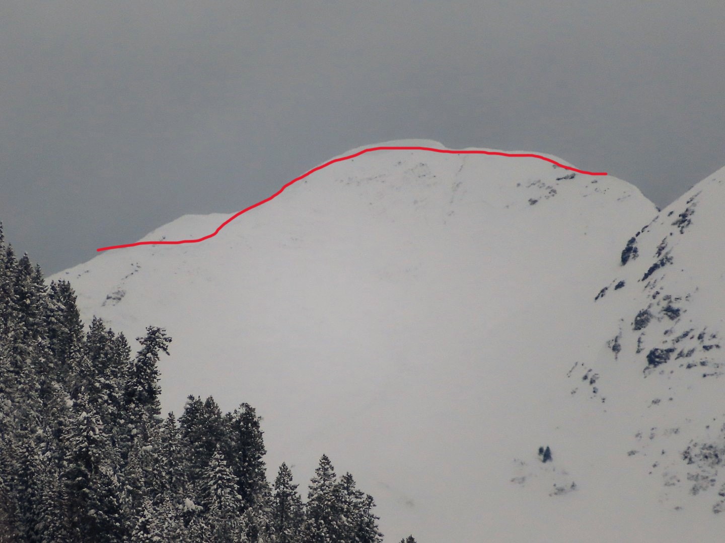
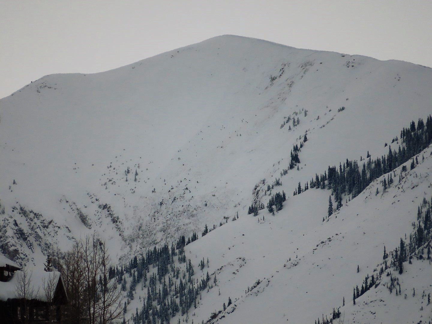
An AVALANCHE WARNING remains in effect.  Dozens of dangerous human-triggered and natural avalanches were observed yesterday.  Some buried backcountry roads (Ohio Pass, Bracken Creek), and some were large enough to reach well into valley runouts (Augusta, Whetstone).  This video demonstrates how the snowpack is teetering right now and why more destructive avalanches are expected today.  You can easily trigger a large avalanche from on, near, or below steep terrain, and natural avalanches could run into flat terrain from above you.  Travel in avalanche terrain is not recommended. You can safely enjoy the new snow by staying on slope angles less than about 30 degrees without overhead hazards.

Lawinenprobleme

  • Persistent Slabs

    • Hochgebirge
    • Waldgrenze
    • Unterhalb der Waldgrenze
    Wahrscheinlichkeit
    Likely
    Größe
    2–3.5

    Persistent weak layers in the middle and bottom of the snowpack are being overloaded by impressive snowfall this week. Destructive avalanches are running naturally at all elevations and aspects, and plenty of other slopes are just hanging in the balance waiting for a human trigger. Persistent slab avalanches can propagate widely through the terrain, or be remotely triggered from low-angle slopes connected to steeper slopes. Leeward start zones near and above treeline are capable of producing very large avalanches (D3+), and below treeline slopes are more commonly producing large avalanches (D2).  You can avoid the problem by traveling on slope angles that are consistently less than 30 degrees without overhead hazards. Give yourself a wide margin for error given how active and consequential the problem is right now.  

  • Storm Slabs

    • Hochgebirge
    • Waldgrenze
    • Unterhalb der Waldgrenze
    Wahrscheinlichkeit
    Possible
    Größe
    1–2

    Warm and heavy storm snow over the past few days has caused some avalanches to break within the storm snow.  Slabs of new and drifted snow will most commonly release on slope angles in the mid-30 degree range and steeper. A triggered avalanche in the upper snowpack could step down and trigger a much larger avalanche that fails on old weak layers deeper in the snowpack.  

    This widely propagating avalanche was remotely triggered on Saturday. You can see a shallower storm slab in the foreground and a deeper persistent slab in the background. 

Avalanche Discussion

If there was any doubt about how dangerous it is out there right now, it is now gone after yesterday's observations, which were still limited by poor visibility.  Large to very large avalanches are running at all elevations and on all aspects.  Ohio Creek Pass and Bracken Creek roads were buried yesterday.  Destructive avalanches failing near the ground ran from the alpine towards valley floors.  Our forecast team in Upper Cement Creek reported unusually widespread and very sensitive persistent slab activity below treeline. 

Since December 27th, a smorgasbord of weak layers including depth hoar, facets, faceted crusts, and surface hoar has been continuously loaded by heavy snowfall and winds.  In some places, the snowpack has doubled in just 6 days.  Storm totals on our mid-December weak layers are approximately 5" of Snow Water Equivalent (SWE) at Schofield Pass, 3.7" of SWE and 48" of snow at Irwin,  2.5" of SWE  and 35" of snow on Mt. Crested Butte, 3.75" of SWE and 40" of snow in Gothic.  That's a lot of dense, heavy snow that is filling the start zones and tracks of steep terrain and overloading weak layers.  With light winds this morning and snowfall intensity declining today, we should see a bit of a downturn in natural activity compared to yesterday.  The danger will decline towards the Considerable/High boundary, more so in the deeper zones where slabs appear to be a bit less sensitive on average. The danger will rise again this evening with increasing snowfall rates, and tomorrow's danger could stay pegged at High if we see the high end of snow and wind forecasts.   We'll re-evaluate tomorrow morning.  The snowpack is clearly at its tipping point and all it takes is modest amounts of snowfall, wind, or a human trigger to produce avalanche activity right now.  

Multiple people were buried in avalanches around the state this weekend. Unfortunately, one of those incidents resulted in Colorado’s second avalanche fatality of the season.  Similar conditions exist in our area with the potential for deadly consequences if you get caught in a slide today.  You can safely enjoy the fresh snow by traveling on slope angles less than 30 degrees that stay out of the runouts of steeper terrain above. 

Abgedeckte Regionen